Latitude: 52.0379 / 52°2'16"N
Longitude: 0.7272 / 0°43'37"E
OS Eastings: 587149
OS Northings: 241237
OS Grid: TL871412
Mapcode National: GBR QHJ.BMR
Mapcode Global: VHKF9.K19J
Plus Code: 9F422PQG+5V
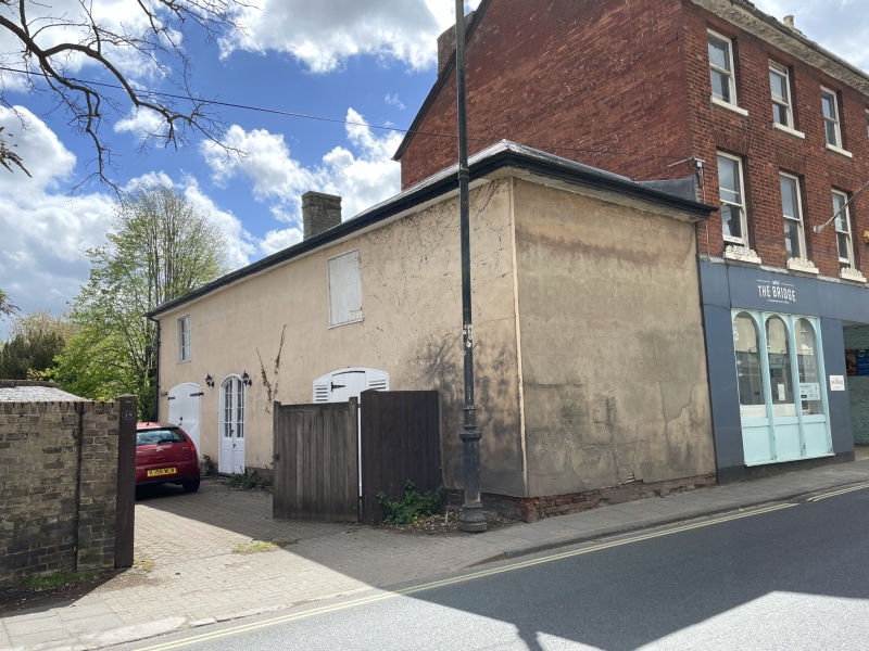
Entry Name: Outbuilding to Number 19
Listing Date: 26 October 1971
Grade: II
Source: Historic England
Source ID: 1351397
English Heritage Legacy ID: 276039
ID on this website: 101351397
Location: Sudbury, Babergh, Suffolk, CO10
County: Suffolk
District: Babergh
Civil Parish: Sudbury
Built-Up Area: Sudbury
Traditional County: Suffolk
Lieutenancy Area (Ceremonial County): Suffolk
Church of England Parish: Sudbury St Gregory with Chilton St Peter
Church of England Diocese: St.Edmundsbury and Ipswich
Tagged with: Appendage
1. GAINSBOROUGH STREET
1692
(South Side)
Outbuildinq to +'To lp
TL 8741 3/220
II
2.
Contemporary; with No 19, 2 storeys, brick with rendering, roof of slates
and hipped North to South.
Listing NGR: TL8714941237
External links are from the relevant listing authority and, where applicable, Wikidata. Wikidata IDs may be related buildings as well as this specific building. If you want to add or update a link, you will need to do so by editing the Wikidata entry.


Other nearby listed buildings