Approximate Location Map
Large Map »
Latitude: 50.8367 / 50°50'12"N
Longitude: -0.7768 / 0°46'36"W
OS Eastings: 486230
OS Northings: 104845
OS Grid: SU862048
Mapcode National: GBR DGS.GFL
Mapcode Global: FRA 968W.F79
Plus Code: 9C2XR6PF+M7
Entry Name: Wall to North of St Andrew Ox Market
Listing Date: 8 October 1971
Grade: II
Source: Historic England
Source ID: 1354316
English Heritage Legacy ID: 299871
ID on this website: 101354316
Location: Chichester, West Sussex, PO19
County: West Sussex
District: Chichester
Civil Parish: Chichester
Built-Up Area: Chichester
Traditional County: Sussex
Lieutenancy Area (Ceremonial County): West Sussex
Church of England Parish: Chichester St Paul
Church of England Diocese: Chichester
Tagged with: Wall
EAST STREET
1.
972
(North Side)
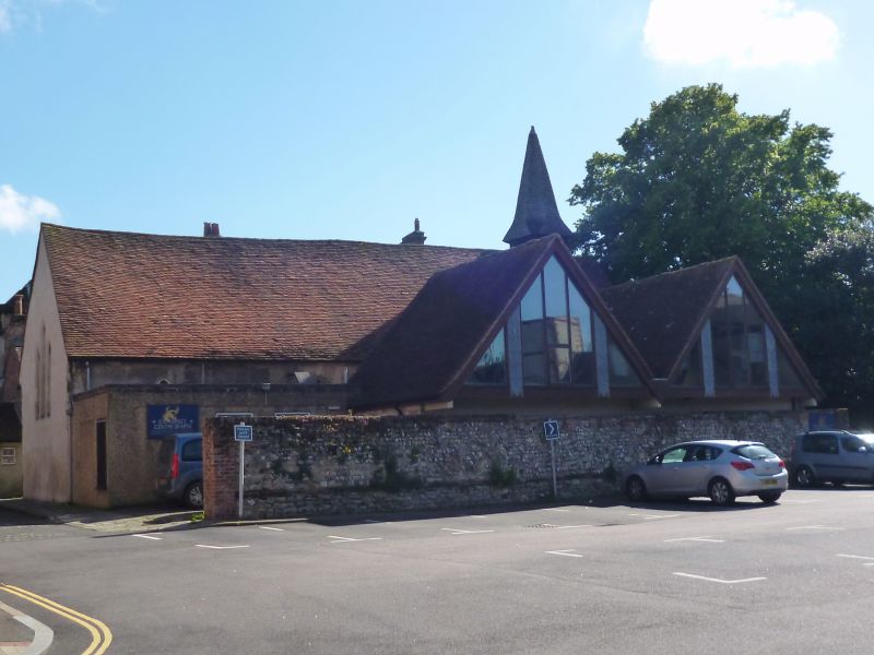
Wall to north of St Andrew
Ox Market
SU 8604 NW 4/96A
II
2.
About 7 feet 6 inches high. Flint and stone rubble set in mortar; brick
course above base. Thin layer of brick near the top with brick capping.
Listing NGR: SU8623004845
External links are from the relevant listing authority and, where applicable, Wikidata. Wikidata IDs may be related buildings as well as this specific building. If you want to add or update a link, you will need to do so by editing the Wikidata entry.


Other nearby listed buildings
