Latitude: 51.6371 / 51°38'13"N
Longitude: -1.7449 / 1°44'41"W
OS Eastings: 417748
OS Northings: 193176
OS Grid: SU177931
Mapcode National: GBR 4TJ.9ND
Mapcode Global: VHB37.P3WT
Plus Code: 9C3WJ7P4+R2
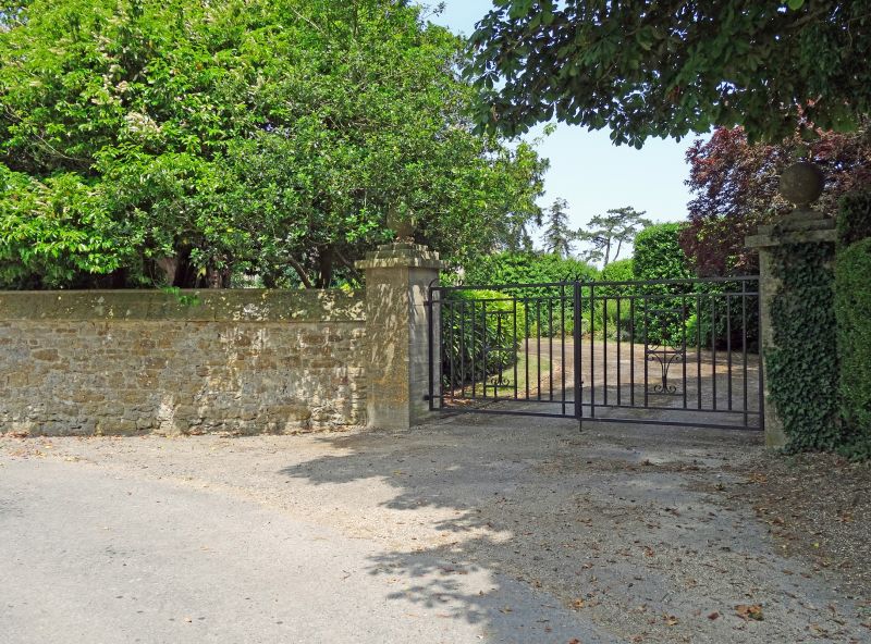
Entry Name: Street Wall and Gate Piers to South of Hannington Hall
Listing Date: 20 September 1979
Grade: II
Source: Historic England
Source ID: 1355944
English Heritage Legacy ID: 318343
ID on this website: 101355944
Location: Hannington, Swindon, Wiltshire, SN6
County: Swindon
Civil Parish: Hannington
Traditional County: Wiltshire
Lieutenancy Area (Ceremonial County): Wiltshire
Church of England Parish: Highworth with Sevenhampton and Inglesham etc
Church of England Diocese: Bristol
Tagged with: Wall
1.
5410
SU 19 SE
5/213
HANNINGTON
QUEEN'S ROAD
(north side)
Street wall and gate piers to south of Hannington Hall
II
GV
2.
Circa 1863. Rubble with weathered coping. About 3 ft high to north and 6
ft high to south. About 100 yds long, gate piers at each end, on north side
leading into stable yard.
Listing NGR: SU1774893176
External links are from the relevant listing authority and, where applicable, Wikidata. Wikidata IDs may be related buildings as well as this specific building. If you want to add or update a link, you will need to do so by editing the Wikidata entry.


Other nearby listed buildings