Latitude: 53.8793 / 53°52'45"N
Longitude: -2.7901 / 2°47'24"W
OS Eastings: 348153
OS Northings: 442857
OS Grid: SD481428
Mapcode National: GBR 8RYL.R3
Mapcode Global: WH850.3RMF
Plus Code: 9C5VV6H5+PW
Entry Name: Churchgate Cottage
Listing Date: 17 April 1967
Grade: II
Source: Historic England
Source ID: 1361957
English Heritage Legacy ID: 185520
ID on this website: 101361957
Location: Churchtown, Wyre, Lancashire, PR3
County: Lancashire
District: Wyre
Civil Parish: Kirkland
Traditional County: Lancashire
Lieutenancy Area (Ceremonial County): Lancashire
Church of England Parish: Garstang St Helen, Churchtown
Church of England Diocese: Blackburn
Tagged with: Cottage
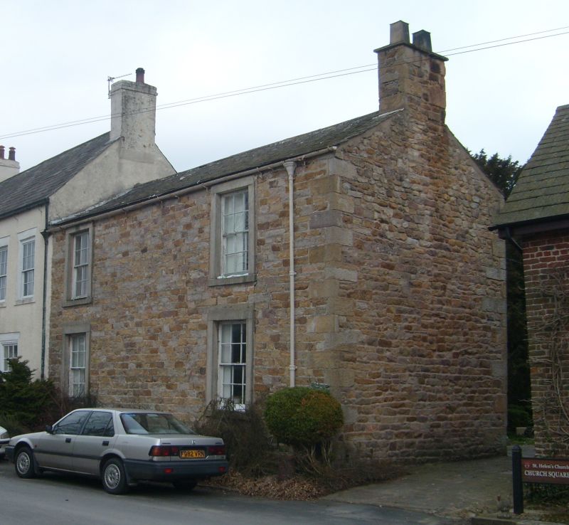
KIRKLAND CHURCH STREET (east side) SD 44 SE 7/128 Churchtown 17-4-1967 Churchgate Cottage GV II House, mid C19. Slobbered rubble with slate roof. 2 storeys, 2 bays. Windows sashed with glazing bars and plain stone surrounds. Chimney on right-hand gable.
Listing NGR: SD4815442860
External links are from the relevant listing authority and, where applicable, Wikidata. Wikidata IDs may be related buildings as well as this specific building. If you want to add or update a link, you will need to do so by editing the Wikidata entry.


Other nearby listed buildings