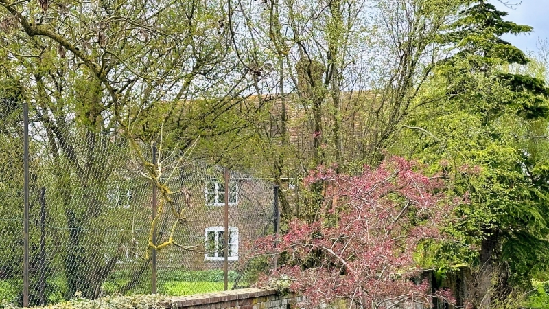
Latitude: 51.1943 / 51°11'39"N
Longitude: 0.917 / 0°55'1"E
OS Eastings: 603910
OS Northings: 147945
OS Grid: TR039479
Mapcode National: GBR SXP.4N1
Mapcode Global: VHKKG.V74R
Plus Code: 9F325WV8+PQ
Entry Name: Boughton Corner Farmhouse
Listing Date: 27 November 1957
Grade: II
Source: Historic England
Source ID: 1362708
English Heritage Legacy ID: 181358
ID on this website: 101362708
Location: Boughton Corner, Ashford, Kent, TN25
County: Kent
District: Ashford
Civil Parish: Boughton Aluph
Traditional County: Kent
Lieutenancy Area (Ceremonial County): Kent
Tagged with: Farmhouse
TR 04 NW
5/11
27.11.57
BOUGHTON ALUPH
CANTERBURY ROAD
(west side)
Boughton Corner
Boughton Corner Farmhouse
II
Farmhouse. C17 with C18 cladding. Timber framed with red brick cladding
and plain tile roof. Lobby entry. 2 storeys on brick plinth. Hipped
roof with shallow hipped projecting cross-wing to left. 2 end stacks
and large C17 ridge stack. Regular fenestration of 4 windows. C19 wooden
on casements, segmental heads to ground floor openings. Central door
in C19 hipped porch with small window above.
Listing NGR: TR0391047945
External links are from the relevant listing authority and, where applicable, Wikidata. Wikidata IDs may be related buildings as well as this specific building. If you want to add or update a link, you will need to do so by editing the Wikidata entry.


Other nearby listed buildings