Latitude: 51.0192 / 51°1'9"N
Longitude: 0.6203 / 0°37'12"E
OS Eastings: 583874
OS Northings: 127692
OS Grid: TQ838276
Mapcode National: GBR QWS.1MX
Mapcode Global: FRA D65F.CG9
Plus Code: 9F322J9C+M4
Entry Name: Lossenham Lodge
Listing Date: 4 November 1977
Grade: II
Source: Historic England
Source ID: 1362917
English Heritage Legacy ID: 180299
ID on this website: 101362917
Location: Newenden, Ashford, Kent, TN18
County: Kent
District: Ashford
Civil Parish: Newenden
Traditional County: Kent
Lieutenancy Area (Ceremonial County): Kent
Tagged with: Gatehouse
NEWENDEN LOSSENHAM LANE 1. 5272 Lossenham Lodge TQ 82 NW 11/247 4.11.77. II
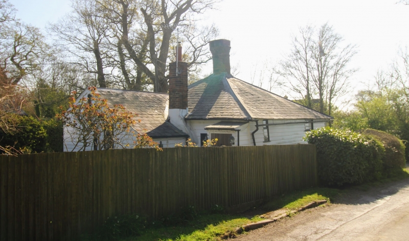
2. Early C19. One storey faced with weatherboarding. Hipped slate roof with circular brick chimney stack at its apex. Bracket eaves cornice. Two pointed casement windows with leaded panes. Trellised gabled porch.
Listing NGR: TQ8387427692
External links are from the relevant listing authority and, where applicable, Wikidata. Wikidata IDs may be related buildings as well as this specific building. If you want to add or update a link, you will need to do so by editing the Wikidata entry.


Other nearby listed buildings