Latitude: 51.0671 / 51°4'1"N
Longitude: -1.7943 / 1°47'39"W
OS Eastings: 414506
OS Northings: 129770
OS Grid: SU145297
Mapcode National: GBR 51F.34J
Mapcode Global: FRA 7649.DSF
Plus Code: 9C3W3684+R7
Entry Name: 6 Bollards in Front of No 4
Listing Date: 12 October 1972
Grade: II
Source: Historic England
Source ID: 1366020
English Heritage Legacy ID: 444966
ID on this website: 101366020
Location: The Friary, Wiltshire, SP1
County: Wiltshire
Civil Parish: Salisbury
Built-Up Area: Salisbury
Traditional County: Wiltshire
Lieutenancy Area (Ceremonial County): Wiltshire
Church of England Parish: Salisbury St Thomas and St Edmund
Church of England Diocese: Salisbury
Tagged with: Bollard
NEW STREET
1.
1594 (North-Side)
6 bollards in front of No 4
SU 1429 NE 4/119A
II
2.
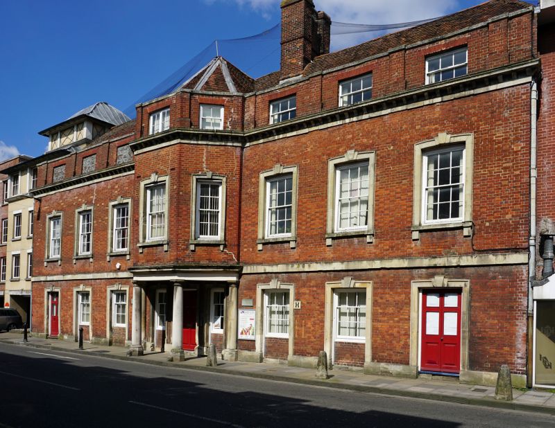
6 octagonal tapering stone bollards ranged symmetrically along edge of pavement
in front of No 4.
Listing NGR: SU1450629770
External links are from the relevant listing authority and, where applicable, Wikidata. Wikidata IDs may be related buildings as well as this specific building. If you want to add or update a link, you will need to do so by editing the Wikidata entry.


Other nearby listed buildings