Latitude: 51.6243 / 51°37'27"N
Longitude: -1.4504 / 1°27'1"W
OS Eastings: 438140
OS Northings: 191860
OS Grid: SU381918
Mapcode National: GBR 6XS.03Y
Mapcode Global: VHC0V.TF2P
Plus Code: 9C3WJGFX+PR
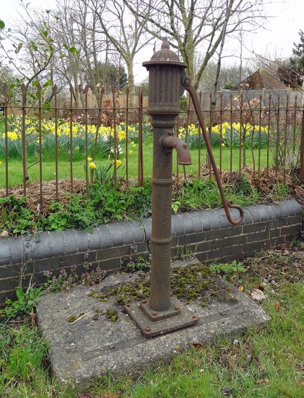
Entry Name: Pump on Roadside Approximately 15 Metres South West of Magpie Cottage
Listing Date: 6 December 1985
Grade: II
Source: Historic England
Source ID: 1368442
English Heritage Legacy ID: 251107
ID on this website: 101368442
Location: Denchworth, Vale of White Horse, Oxfordshire, OX12
County: Oxfordshire
District: Vale of White Horse
Civil Parish: Denchworth
Traditional County: Berkshire
Lieutenancy Area (Ceremonial County): Oxfordshire
Tagged with: Pump
DENCHWORTH HYDE ROAD SU39SE (East side) 1/13 Pump on roadside approx. 15m. SW of Magpie Cottage
GV II
Pump. Mid C19. Cast iron.
Listing NGR: SU3813691859
External links are from the relevant listing authority and, where applicable, Wikidata. Wikidata IDs may be related buildings as well as this specific building. If you want to add or update a link, you will need to do so by editing the Wikidata entry.


Other nearby listed buildings