Latitude: 54.9519 / 54°57'6"N
Longitude: -1.9245 / 1°55'28"W
OS Eastings: 404935
OS Northings: 561918
OS Grid: NZ049619
Mapcode National: GBR HC05.4P
Mapcode Global: WHB2G.DSTP
Plus Code: 9C6WX32G+Q6
Entry Name: Bridge over Clockey Burn 70 Metres North of Bywell Castle Entrance
Listing Date: 24 May 1988
Grade: II
Source: Historic England
Source ID: 1370520
English Heritage Legacy ID: 239838
ID on this website: 101370520
Location: Bywell, Northumberland, NE43
County: Northumberland
Civil Parish: Bywell
Traditional County: Northumberland
Lieutenancy Area (Ceremonial County): Northumberland
Church of England Parish: Bywell St Peter
Church of England Diocese: Newcastle
Tagged with: Bridge
BYWELL BYWELL NZ 0461 23/77 Bridge over Clockey Burn, 70 metres north of Bywell Castle entrance
GV II
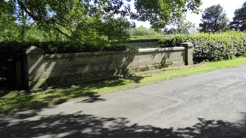
Bridge, mid C19. Tooled ashlar. Segmental arch; band below parapet, which has stepped base, low arched coping and ends in piers with low pyramidal caps.
Listing NGR: NZ0493561918
External links are from the relevant listing authority and, where applicable, Wikidata. Wikidata IDs may be related buildings as well as this specific building. If you want to add or update a link, you will need to do so by editing the Wikidata entry.


Other nearby listed buildings