Latitude: 55.4197 / 55°25'10"N
Longitude: -1.7157 / 1°42'56"W
OS Eastings: 418094
OS Northings: 614009
OS Grid: NU180140
Mapcode National: GBR J5GS.C0
Mapcode Global: WHC1K.M16J
Plus Code: 9C7WC79M+VP
Entry Name: Canongate Bridge over the River Aln
Listing Date: 10 January 1953
Grade: II
Source: Historic England
Source ID: 1371061
English Heritage Legacy ID: 236382
ID on this website: 101371061
Location: Alnwick, Northumberland, NE66
County: Northumberland
Civil Parish: Alnwick
Traditional County: Northumberland
Lieutenancy Area (Ceremonial County): Northumberland
Church of England Parish: Alnwick
Church of England Diocese: Newcastle
NU 11 SE
10/45
DENWICK
B 6346
Canongate Bridge over the River Aln
10.1.53
II
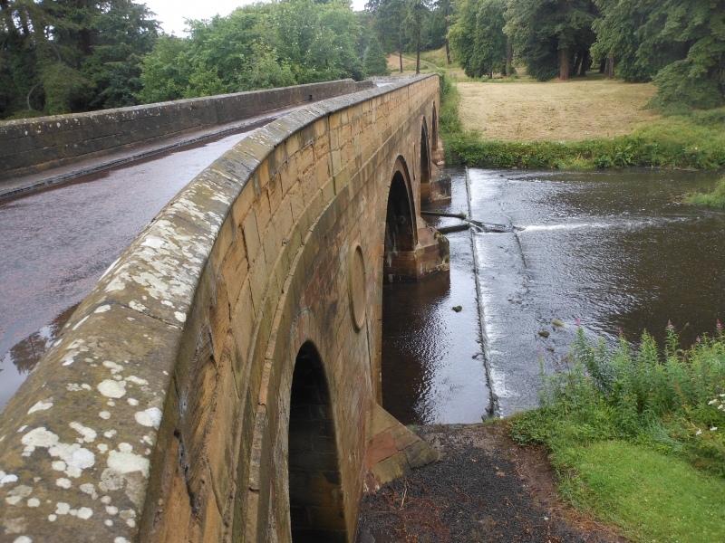
Bridge, 1821. Squared stone. Three segmental arches; low triangular cutwaters, moulded arch ring. Round-headed road arch on south. Moulded roundels in spandrels and string below parapet, which has shallow pilasters on each face, moulded coping and square end piers with moulded flat caps.
Partly in Alnwick U.D.
Listing NGR: NU1809414009


Other nearby listed buildings