Latitude: 52.634 / 52°38'2"N
Longitude: 1.1855 / 1°11'7"E
OS Eastings: 615659
OS Northings: 308796
OS Grid: TG156087
Mapcode National: GBR VG3.SP1
Mapcode Global: WHLSG.52S0
Plus Code: 9F43J5MP+J6
Entry Name: West Boundary Wall to Nos 1 and 2
Listing Date: 14 April 1983
Grade: II
Source: Historic England
Source ID: 1373020
English Heritage Legacy ID: 226413
ID on this website: 101373020
Location: Bawburgh, South Norfolk, NR9
County: Norfolk
District: South Norfolk
Civil Parish: Bawburgh
Traditional County: Norfolk
Lieutenancy Area (Ceremonial County): Norfolk
Church of England Parish: Bawburgh St Mary and St Walstan
Church of England Diocese: Norwich
Tagged with: Wall
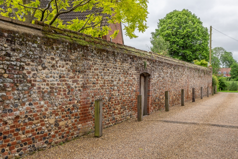
BAWBURGH HALL FARN PLACE
TG 1508
9/10 West Boundary wall to
Nos 1 and 2
II
G.V.
C19 Brick and flint wall with moulded brick coping.
Listing NGR: TG1565908796
External links are from the relevant listing authority and, where applicable, Wikidata. Wikidata IDs may be related buildings as well as this specific building. If you want to add or update a link, you will need to do so by editing the Wikidata entry.


Other nearby listed buildings