Latitude: 53.089 / 53°5'20"N
Longitude: -1.7937 / 1°47'37"W
OS Eastings: 413910
OS Northings: 354663
OS Grid: SK139546
Mapcode National: GBR 47V.9BP
Mapcode Global: WHCDR.FM28
Plus Code: 9C5W36Q4+JG
Entry Name: Viator's Bridge (That Part in Staffordshire)
Listing Date: 15 March 1985
Grade: II
Source: Historic England
Source ID: 1374581
English Heritage Legacy ID: 274390
ID on this website: 101374581
Location: Milldale, Staffordshire Moorlands, Staffordshire, DE6
County: Staffordshire
District: Staffordshire Moorlands
Civil Parish: Alstonefield
Traditional County: Staffordshire
Lieutenancy Area (Ceremonial County): Staffordshire
Church of England Parish: Tissington St Mary
Church of England Diocese: Derby
SK 15 SW ALSTONEFIELD C.P. MILLDALE
8/37 Viator's Bridge (That
- part in Staffordshire)
II
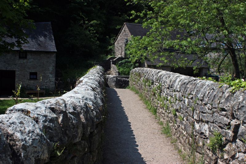
Packhorse bridge. Probably early Cl6. Ashlar with random rubble
parapet. 2 roughly 4-centred arches spanning the River Dove with a
buttress between the 2. Mentioned in The Compleat Angler by Izaak
Walton.
Listing NGR: SK1391054663


Other nearby listed buildings