-
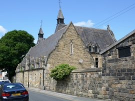
A view of the Bennett Road elevation.
-
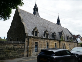
The Bennett Road elevation.
-
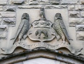
A detail.
-
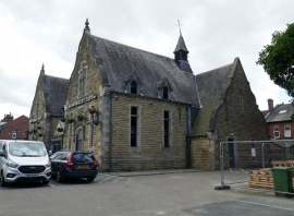
A general view.
-
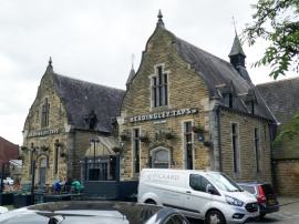
A general view.
-
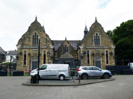
A general view.
-
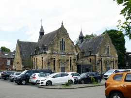
A general view.
-
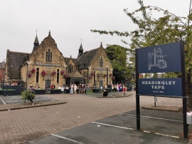
North elevation

A view of the Bennett Road elevation.

The Bennett Road elevation.

A detail.

A general view.

A general view.

A general view.

A general view.

North elevation
Entry Name: Headingley Taps Public House
Listing Date: 5 August 1976
Last Amended: 11 September 1996
Grade: II
Source: Historic England
Source ID: 1375262
English Heritage Legacy ID: 466144
ID on this website: 101375262
Location: Headingley, Leeds, West Yorkshire, LS6
County: Leeds
Electoral Ward/Division: Headingley
Parish: Non Civil Parish
Built-Up Area: Leeds
Traditional County: Yorkshire
Lieutenancy Area (Ceremonial County): West Yorkshire
Church of England Parish: Headingley St Michael
Church of England Diocese: Leeds