Latitude: 51.9855 / 51°59'7"N
Longitude: 1.3897 / 1°23'22"E
OS Eastings: 632849
OS Northings: 237324
OS Grid: TM328373
Mapcode National: GBR WRM.J4X
Mapcode Global: VHM8S.1CJ7
Plus Code: 9F33X9PQ+6V
Entry Name: Martello Tower, Felixstowe Ferry
Listing Date: 21 June 1949
Last Amended: 10 February 1986
Grade: II
Source: Historic England
Source ID: 1377365
English Heritage Legacy ID: 286249
ID on this website: 101377365
Location: East Suffolk, IP11
County: Suffolk
District: East Suffolk
Civil Parish: Felixstowe
Traditional County: Suffolk
Lieutenancy Area (Ceremonial County): Suffolk
Church of England Parish: Felixstowe St Peter and St Paul with St Andrew and St Nicholas
Church of England Diocese: St.Edmundsbury and Ipswich
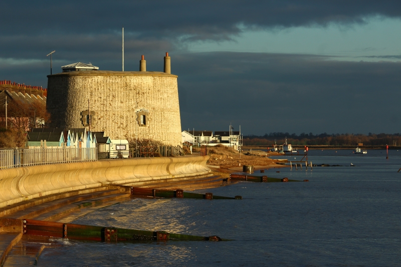
FELIXSTOWE FERRY ROAD TM 33 NW 2/5 Martello Tower, Felixstowe Ferry (formerly listed as Ferry flower, Felixstowe 21.6.49 Ferry) II Martello tower. Circa 1810-12. Gault brick, cement rendered, stone dressings. Round tower with flat roof. 3 stages.West doorway to middle stage and loop openings have stone quoins and keystones. Tunnel entrance on west side. Martello tower No 7. AM 104.
Listing NGR: TM3284937324


Other nearby listed buildings