Latitude: 51.2374 / 51°14'14"N
Longitude: -0.2963 / 0°17'46"W
OS Eastings: 519029
OS Northings: 150065
OS Grid: TQ190500
Mapcode National: GBR HGK.9XC
Mapcode Global: VHGS7.T568
Plus Code: 9C3X6PP3+WF
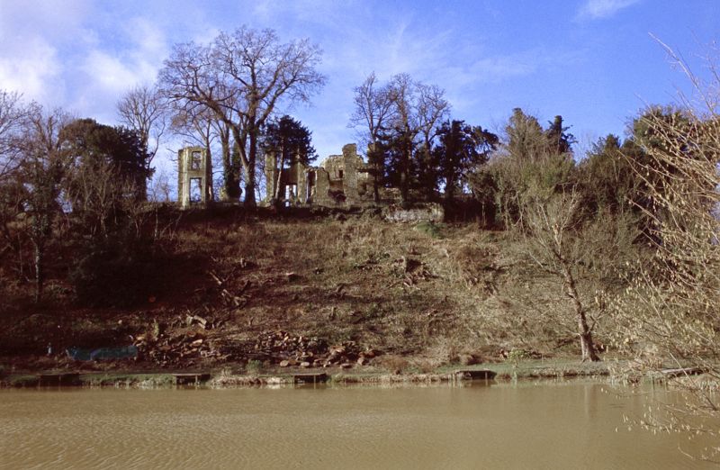
Entry Name: Ruins of Betchworth Castle
Listing Date: 28 November 1951
Grade: II
Source: Historic England
Source ID: 1378073
English Heritage Legacy ID: 289837
ID on this website: 101378073
Location: Brockham, Mole Valley, Surrey, RH4
County: Surrey
District: Mole Valley
Civil Parish: Brockham
Built-Up Area: Brockham
Traditional County: Surrey
Lieutenancy Area (Ceremonial County): Surrey
Church of England Parish: Dorking St Martin
Church of England Diocese: Guildford
Ruins of Betchworth Castle 1. 1049
TQ 15 SE 8/97 28.11.51.
II
2. Ruins of a mansion built by Sir Thomas Browne in 1449, and to which alterations were later made eg in 1705, and in 1799 by Soane. Stables and a dairy were also built according to Soane's design at about the same date: see Castle Gardens, Betchworth Park. Demolished 1819. Stone rubble, ashlar and red brick. Remains of garden terrace wall below.
Listing NGR: TQ1902950065


Other nearby listed buildings