Latitude: 51.209 / 51°12'32"N
Longitude: -2.6462 / 2°38'46"W
OS Eastings: 354958
OS Northings: 145730
OS Grid: ST549457
Mapcode National: GBR MN.43DM
Mapcode Global: VH89S.2WY2
Plus Code: 9C3V6953+HG
Entry Name: 11, High Street
Listing Date: 16 January 1973
Grade: II
Source: Historic England
Source ID: 1382956
English Heritage Legacy ID: 483359
ID on this website: 101382956
Location: Wells, Somerset, BA5
County: Somerset
District: Mendip
Civil Parish: Wells
Built-Up Area: Wells
Traditional County: Somerset
Lieutenancy Area (Ceremonial County): Somerset
Tagged with: Building
WELLS
ST5445 HIGH STREET
662-1/7/87 (South side)
16/01/73 No.11
GV II
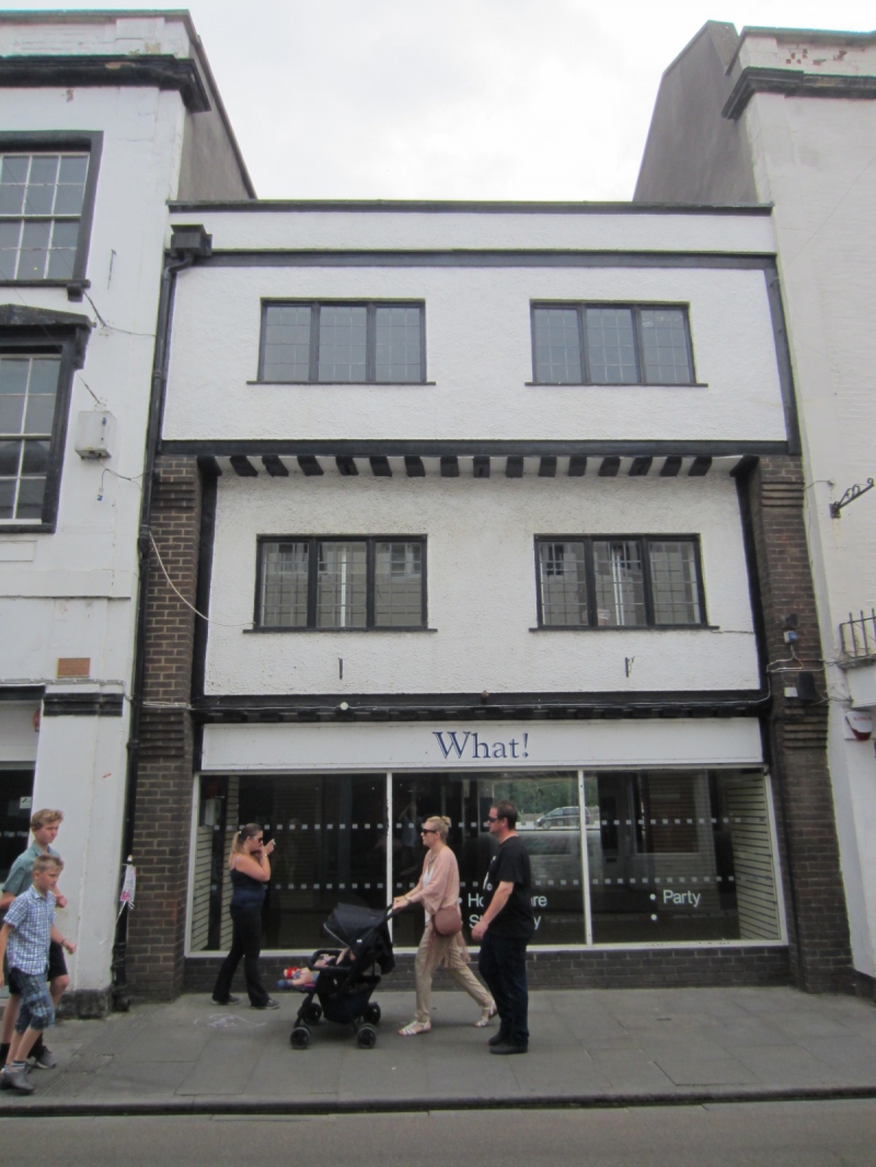
House now office over shop, formerly the Catherine Wheel Inn.
C16 or C17, but substantially restructured mid C20; reputed to
incorporate fragments of building from 1414. Brick pilasters,
rendered and colourwashed panels, Welsh slate roof between
abutments.
EXTERIOR: 3 storeys, 2 bays. Ground floor has plain 3-unit
display window and shallow fascia over, first floor has traces
of mouldings on sill beam to jetty, second floor plain, to
both floors are 3-light timber casement windows with
rectangular leaded lights, simple parapet.
INTERIOR: there are some chamfered beams at first floor-level
otherwise it is totally rebuilt. Substantially restructured,
but significant for its early origins and townscape value in
the medieval town.
Listing NGR: ST5496045724
External links are from the relevant listing authority and, where applicable, Wikidata. Wikidata IDs may be related buildings as well as this specific building. If you want to add or update a link, you will need to do so by editing the Wikidata entry.


Other nearby listed buildings