History in Structure

Boundary Stone on West Side of Road Approximately 20 Metres South of Lane to Catholes

A Grade II Listed Building in Dent, Cumbria

Boundary stone

Uploader's Comments

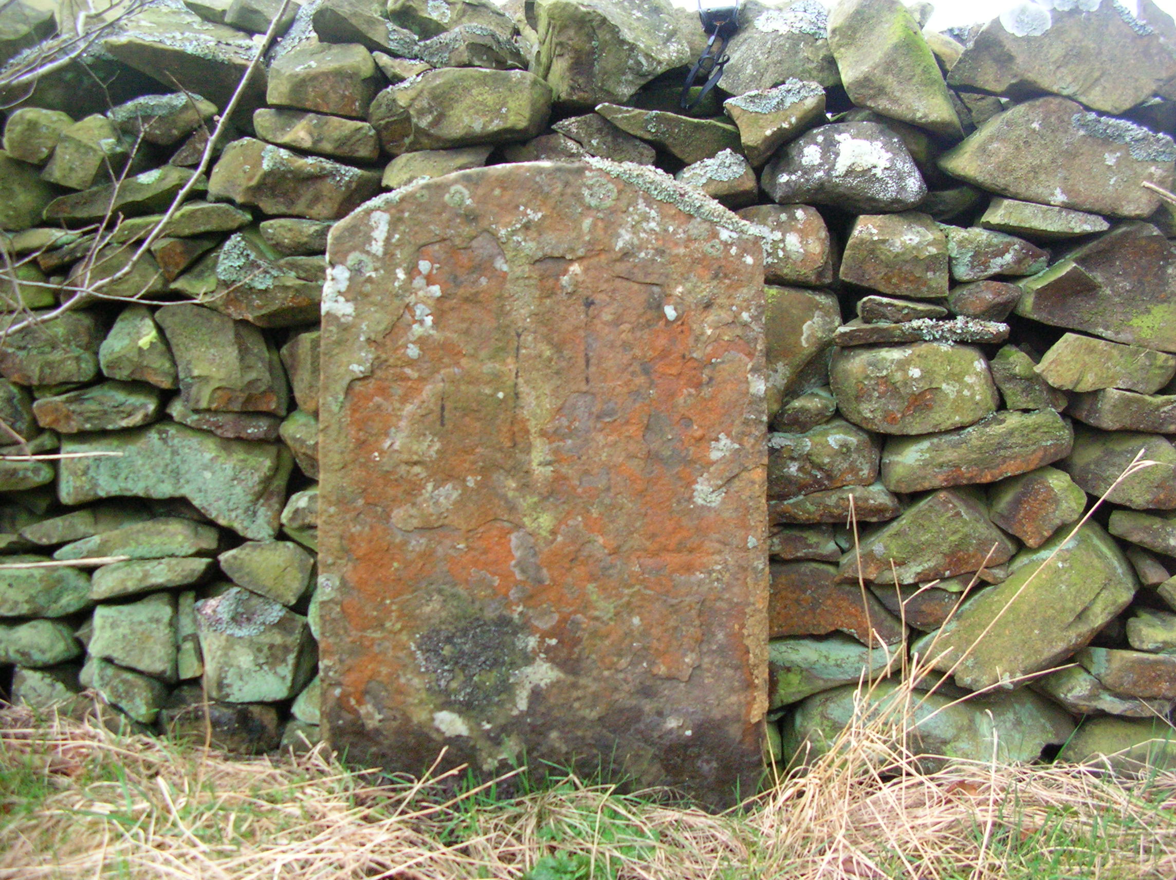
Boundary stone marking boundary between parishes of Sedbergh
and Dent. Probably C18. Sandstone. Flat-faced segmental-headed
slab approx. 1 metre high, with worn inscription "D / S". There are no markings on the stone so it may have been defaced during the Second World War as a security precaution.

Uploaded by Nick on 3 January 2015

Photo ID: 118652
Building ID: 101383826
Report this photo

Photo Navigator

BritishListedBuildings.co.uk is an independent online resource and is not associated with any government department. All government data published here is used under licence. Please do not contact BritishListedBuildings.co.uk for any queries related to any individual listed building, planning permission related to listed buildings or the listing process itself.

British Listed Buildings is a Good Stuff website.