Latitude: 53.2249 / 53°13'29"N
Longitude: -0.5434 / 0°32'36"W
OS Eastings: 497338
OS Northings: 370751
OS Grid: SK973707
Mapcode National: GBR FMQ.TNY
Mapcode Global: WHGJ5.M6FK
Plus Code: 9C5X6FF4+XJ
Entry Name: Former St Mark’s Railway Station and adjoining Office and Platform
Listing Date: 8 October 1953
Last Amended: 13 June 2022
Grade: II
Source: Historic England
Source ID: 1388600
English Heritage Legacy ID: 486045
Also known as: Former St Mark's Railway Station And Adjoining Office And Platform
ID on this website: 101388600
Location: New Boultham, Lincoln, Lincolnshire, LN5
County: Lincolnshire
District: Lincoln
Electoral Ward/Division: Boultham
Parish: Non Civil Parish
Built-Up Area: Lincoln
Traditional County: Lincolnshire
Lieutenancy Area (Ceremonial County): Lincolnshire
Church of England Parish: Lincoln St Mary-le-Wigford
Church of England Diocese: Lincoln
Tagged with: Railway station Architectural structure Former railway station
Former railway station and adjoining office and platform, constructed in 1846 to designs by W A Nicholson (1803-1853). Closed in 1985 and converted into a shopping centre with the addition of a large brick extension to the south.
Former railway station and adjoining office and platform, constructed in 1846 to designs by W A Nicholson (1803-1853). Closed in 1985 and converted into a shopping centre with the addition of a large brick extension to the south.
MATERIALS: the building is of gault brick with limestone dressings and slate roofs.
PLAN: the building is roughly orientated east-west, with the principal former station frontage facing north onto Station Street.
EXTERIOR: the building is split into two elements: the former main station building fronting station street to the north and a much smaller adjoining office building fronting the High Street.
The former main station building is a single-storey building along, a thin plan of 17 bays fronting Station Street, designed in a Neoclassical style. Rising from the hipped roof are four brick ridge stacks and two end wall stacks, all with corbel detailing. The principal, north elevation is symmetrically arranged, with an ashlar limestone plinth and entablature running the length of the elevation. Late-C20, stone-paved, brick ramps with metal handrails run up either side of the elevation to the three central bays, which break forward to form a portico supported on four pairs of Ionic columns on iron bases, mirrored on the elevation in pairs of ashlar pilasters. A flight of stone steps with metal handrails leads up to the portico from the north. Within the portico, the two outer bays contain doorways with moulded ashlar surrounds, while the central bay contains a six-over-six sash window within an ashlar architrave with cornice. To the east and west of the portico are four recessed bays, each containing a moulded ashlar opening with modillions and a cornice. Each contains a six-over-six, timber sash window, apart from the two inner bays of the recessed section to the west of the portico, which are full-height openings with six-light sashes over nine-pane fixed windows. The three end bays to the east and west form pavilions with six Doric pilasters in ashlar, and three openings with ashlar surrounds with cornices. These are six-over-six timber sashes with the exception of the westernmost bay of the western pavilion, which is a six-pane sash over a nine-pane fixed window.
The stone plinth and entablature return onto the west elevation, which contains two six-over-six sash windows with gauged brickwork flat-arched heads and stone sills. The east elevation contains a six-panelled door with a fixed, six-light window above, within a moulded ashlar surround. An additional bay adjoins the east elevation, added in the late-C20 and replicating the style of the ashlar and gault brick station building, with a fully glazed shopfront.
Adjoining the later, easternmost bay of the main station building is a single-storey former office under a hipped roof. The north elevation is four bays wide, three containing late-C20 casement and fixed timber windows with moulded ashlar lintels and sills, and one containing a doorway with a moulded ashlar surround. The lower brick course project to form a plinth and the two uppermost courses are corbelled out to form an eaves course.
Adjoining the eastern end of the north elevation is a curved brick wall with a stone cornice, possibly part of the former station’s boundary wall. The east and south elevations have been substantially remodelled during the late-twentieth century. The east elevation contains a timber shopfront with a brick plinth and a stone cornice flanked by brick piers, above which runs a deep, brick and stone parapet. The parapet returns onto the southern elevation, which contains part of a blocked-up window with a gauged brickwork head and stone sill. Adjoining the station building to the east and the office to the south is a hipped-roofed, single-storey extension forming a shopping centre constructed of gault brick with stone dressings. It replicates some of the Neoclassical motifs and railway architecture of the historic building.
Listing NGR: SK9733870751
Lincoln High Street is part of the major Roman road, Ermine Street, linking London to York. It has served as the principal route into the city from the south since the first century when a legionary fortress was established on what is now ‘Uphill’ Lincoln (the vicinity of the cathedral and castle). The fortress was later transformed into a civilian settlement, taking the name Colonia Lindum, from which its modern name is derived. The Roman town gradually expanded south along Ermine Street beyond the River Witham. This development pattern was largely re-established after the Vikings resettled the city during the C9. By the time of the Norman Conquest, both sides of Ermine Street appear to have been developed for some distance south of the river, but as late as the C18, development to the east and west of the High Street was mostly limited to the areas of the castle and cathedral in ‘Uphill’ Lincoln and along the riverfront in ‘Downhill’ Lincoln.
The land south of the River Witham witnessed considerable industrial and commercial growth during the late C18 and C19. The land to the east and west of the High Street was transformed into a network of workshops, factories and yards, a trend reinforced by the arrival of the Midland Railway in 1846, followed by the Great Northern Railway in 1848, which transformed a large swathe of the area into a complex of railway buildings, storehouses and sidings. The High Street witnessed gradual redevelopment throughout this period, creating the largely C19 streetscape seen today, although a significant number of pre-industrial buildings have survived, often hidden behind later facades.
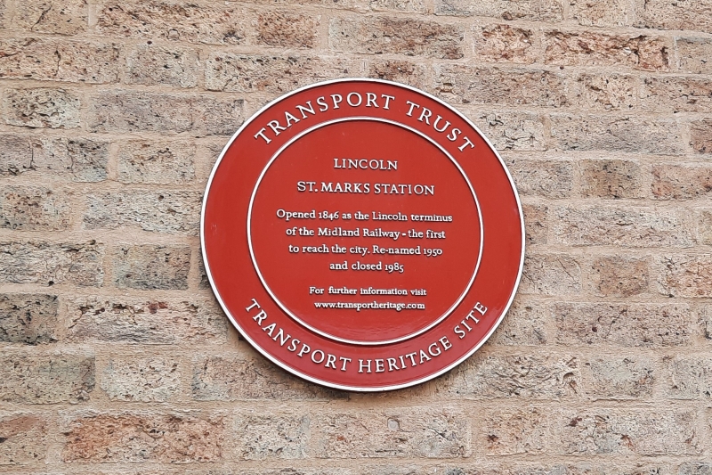
St Mark’s Railway Station was opened in 1846 as Lincoln Station by the Midland Railway. It was the first of two stations in the city, and initially served as the terminus of the Nottingham-Lincoln Line engineered by Robert Stephenson. A line extension was built a few years after the station opened to connect it to the Great Northern Railway to the east of Lincoln Central Station, opened by the GNR in 1848. This extension crossed the High Street via a level crossing and joined the Great Northern Railway’s line just east of Pelham Street.
The station building was designed in a Neoclassical style by the local architect, William Adams Nicholson (1803-1853), although I A Davies has also been suggested as the architect. The platforms were originally covered by an M-shaped roof, which was removed in 1957. The form of the main station building changed very little during its time in operation, although its wider setting experienced a gradual evolution over the years as buildings and tracks were added, replaced or removed. A former office adjoins the main station building to the east, fronting the High Street, and forms part of the listed building. It does not appear to have been part of the original station design but was extant by 1887.
The station was renamed Lincoln St Mark’s on 29 September 1950. Following the closure of the Lincoln-to-Grantham Line during the Beeching Cuts of the 1960s, St Mark’s served as the city’s mainline station, with through services from Cleethorpes to London King’s Cross. St Mark's was closed on 11 May 1985 in a rationalisation of Lincoln’s rail services.
After closure, most of the railway buildings and infrastructure were demolished. During the late 1990s and early 2000s, the main station building, which had stood redundant for some time, was integrated into a new shopping precinct, with a substantial brick extension added to the south replicating elements of the former station’s Neoclassical design.
William Adams Nicholson was born in Southwell, Nottinghamshire, in 1803, the son of a carpenter and joiner. He was articled to John Buonarotti Papworth in 1821 and by 1828 he had established himself in independent practice in Lincoln. In 1837, he joined the Royal Institute of British Architects as a founding fellow. Between 1839 and 1846 he was in partnership with Henry Goddard (1813-1899), practising as Nicholson & Goddard. Nicholson established a successful practice with a diverse and extensive portfolio of high-profile commissions across Lincolnshire and Nottinghamshire. Practising in both the Gothic Revival and Neoclassical styles, his work included numerous churches, country houses and public buildings. Nicholson died in 1853 in Boston, Lincolnshire, and is buried in the churchyard of St Swithin, Lincoln.
Legacy Record – This information may be included in the List Entry Details.
External links are from the relevant listing authority and, where applicable, Wikidata. Wikidata IDs may be related buildings as well as this specific building. If you want to add or update a link, you will need to do so by editing the Wikidata entry.


Other nearby listed buildings