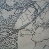
1860 to 1865 Ordnance Survey Map
Uploader's Comments
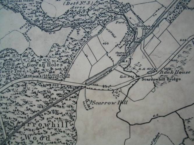
1860 to 1865 Ordnance Survey Map showing Scarrow Hill.
Uploaded by Catherine Bancroft on 25 November 2012
1860 to 1865 Ordnance Survey Map showing Scarrow Hill.
Uploaded by Catherine Bancroft on 25 November 2012
Photo ID: 65802
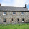
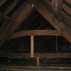
Building ID: 101408870
Report this photo