Yeovil Mile Markers
Uploader's Comments
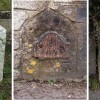
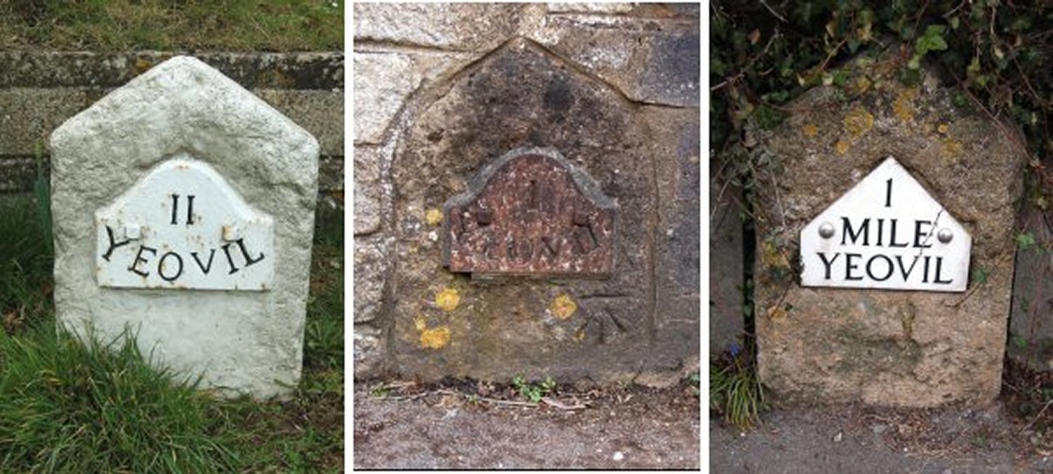
These are mile markers erected by the Yeovil Turnpike Commissioners, probably in the 1850s. At left is a two-mile marker located by the White Post garage on the West Coker Road, at the Camp Road turning. The metal plate design is known officially as the "Yeovil Roll-Top Plate". The central photograph, a one-mile "Yeovil Roll-Top Plate" marker, is located in a garden wall on the West Coker Road, between Danielsfield Road and Hillgrove Avenue. The broad Arrowhead carved in the stone below the plate is an Ordnance Survey benchmark used in surveying. The third mile marker is located in a garden wall on the Ilchester Road, nearly opposite the old Picketty Witch. The style of this marker plate is officially known as the "Yeovil Gable Plate".
Uploaded by Bob Osborn on 8 January 2021