Approximate Location Map
Large Map »
Latitude: 55.3195 / 55°19'10"N
Longitude: -3.8014 / 3°48'4"W
OS Eastings: 285786
OS Northings: 604308
OS Grid: NS857043
Mapcode National: GBR 16WX.TX
Mapcode Global: WH5V8.LK1B
Plus Code: 9C7R859X+RC
Entry Name: Railway Viaduct, Enterkinfoot
Listing Name: Enterkin Viaduct
Listing Date: 26 June 1986
Category: B
Source: Historic Scotland
Source ID: 335036
Historic Scotland Designation Reference: LB3872
Building Class: Cultural
Also known as: Enterkinfoot, Railway Viaduct
ID on this website: 200335036
Location: Durisdeer
County: Dumfries and Galloway
Electoral Ward: Mid and Upper Nithsdale
Parish: Durisdeer
Traditional County: Dumfriesshire
Tagged with: Railway viaduct
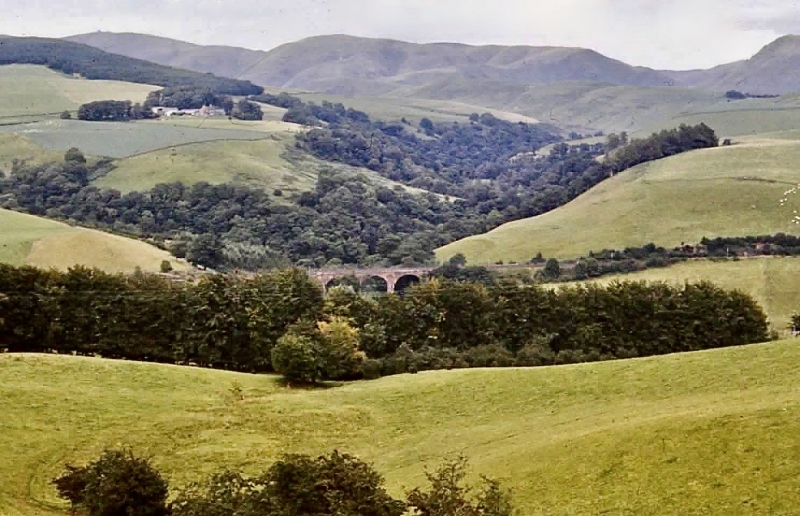
Closeburn-New Cumnock line; John Miller engineer; opened
28.10.1850. Railway viaduct carrying double track high above
Enterkin Burn. 4 round arches. Channelled bullfaced red
ashlar, rusticated voussoirs, polished outer pilaster strips
and band at parapet; plain iron handrail.
External links are from the relevant listing authority and, where applicable, Wikidata. Wikidata IDs may be related buildings as well as this specific building. If you want to add or update a link, you will need to do so by editing the Wikidata entry.


Other nearby listed buildings
