Latitude: 56.73 / 56°43'48"N
Longitude: -2.545 / 2°32'42"W
OS Eastings: 366749
OS Northings: 759951
OS Grid: NO667599
Mapcode National: GBR X1.75Q5
Mapcode Global: WH8RH.W38J
Plus Code: 9C8VPFJ3+2X
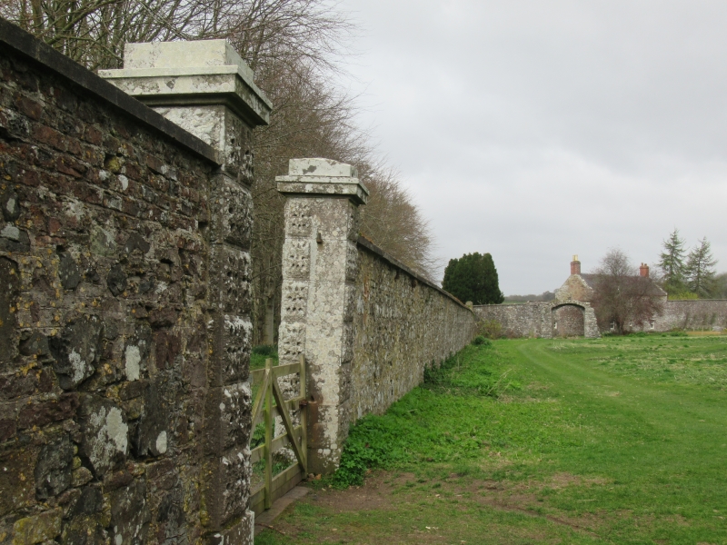
Entry Name: Walled Garden And House, House Of Dun
Listing Name: House of Dun Walled Garden
Listing Date: 11 June 1971
Category: B
Source: Historic Scotland
Source ID: 335978
Historic Scotland Designation Reference: LB4696
Building Class: Cultural
ID on this website: 200335978
Location: Dun
County: Angus
Electoral Ward: Montrose and District
Parish: Dun
Traditional County: Angus
Formed c.1730 onwards partly over the site of the old
House of Dun. Irregular shape, mostly rubble but with
brick alterations and additions. 2-storey 3-window
ashlar fronted house (rear elevation of brick)
associated.


Other nearby listed buildings