Approximate Location Map
Large Map »
Latitude: 55.3288 / 55°19'43"N
Longitude: -4.7764 / 4°46'35"W
OS Eastings: 223968
OS Northings: 607369
OS Grid: NS239073
Mapcode National: GBR 43.6BH6
Mapcode Global: WH2QD.LBQ7
Plus Code: 9C7Q86HF+GC
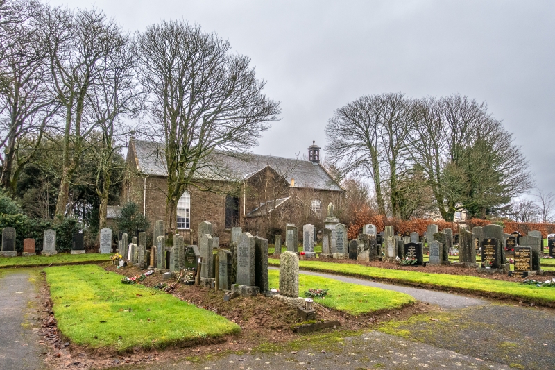
Entry Name: Parish Church, Kirk Road, Kirkoswald
Listing Name: Kirkoswald Parish Church
Listing Date: 14 April 1971
Category: A
Source: Historic Scotland
Source ID: 339526
Historic Scotland Designation Reference: LB7583
Building Class: Cultural
ID on this website: 200339526
Location: Kirkoswald
County: South Ayrshire
Electoral Ward: Girvan and South Carrick
Parish: Kirkoswald
Traditional County: Ayrshire
Tagged with: Church building
1777; Some late additions, 1677 Dutch Bell - Has rusticated
quoins and fine Palladian details, but these are now seen
to disadvantage since the removal of the harling.
Ecclesiastical building in use as such.
External links are from the relevant listing authority and, where applicable, Wikidata. Wikidata IDs may be related buildings as well as this specific building. If you want to add or update a link, you will need to do so by editing the Wikidata entry.


Other nearby listed buildings
