Latitude: 55.5689 / 55°34'7"N
Longitude: -2.4766 / 2°28'35"W
OS Eastings: 370041
OS Northings: 630679
OS Grid: NT700306
Mapcode National: GBR C441.MK
Mapcode Global: WH8Y4.X9T5
Plus Code: 9C7VHG9F+G9
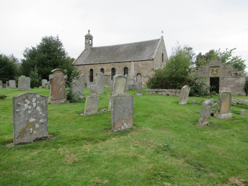
Entry Name: Churchyard, Roxburgh Parish Church
Listing Name: ROXBURGH CHURCH and graveyard
Listing Date: 16 March 1971
Category: B
Source: Historic Scotland
Source ID: 348620
Historic Scotland Designation Reference: LB15095
Building Class: Cultural
Also known as: Roxburgh Parish Church, Churchyard
ID on this website: 200348620
Location: Roxburgh
County: Scottish Borders
Electoral Ward: Jedburgh and District
Parish: Roxburgh
Traditional County: Roxburghshire
Tagged with: Churchyard
1752; repaired 1828, additions circa 1865, painted heraldic
panels and 1705 bell. Roofless burial-vault of the Kers
of Chatto, restored in 1833 and again in 1917.
External links are from the relevant listing authority and, where applicable, Wikidata. Wikidata IDs may be related buildings as well as this specific building. If you want to add or update a link, you will need to do so by editing the Wikidata entry.


Other nearby listed buildings