Latitude: 57.1744 / 57°10'27"N
Longitude: -2.0985 / 2°5'54"W
OS Eastings: 394140
OS Northings: 809293
OS Grid: NJ941092
Mapcode National: GBR SCD.9T
Mapcode Global: WH9QJ.QXWW
Plus Code: 9C9V5WF2+QH
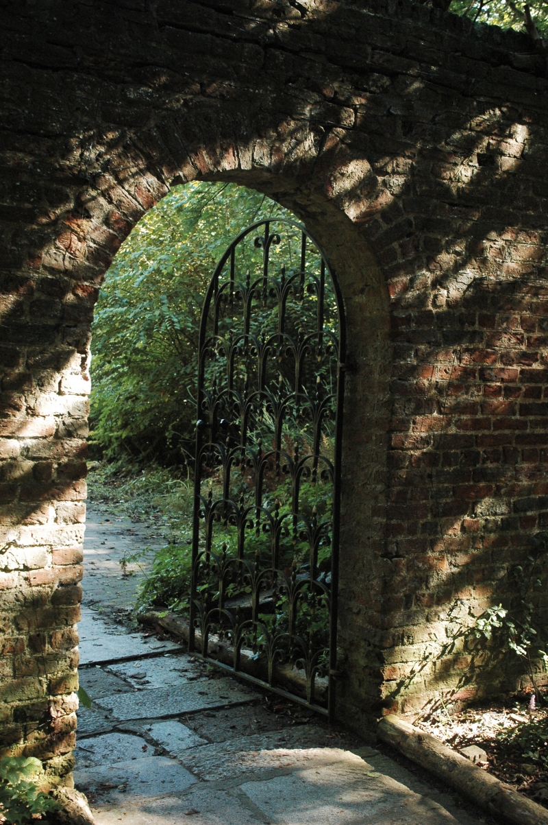
Entry Name: Walled Garden, Seaton Park, Aberdeen
Listing Name: Seaton Park, Walled Garden, Don Street.
Listing Date: 12 January 1967
Category: B
Source: Historic Scotland
Source ID: 354507
Historic Scotland Designation Reference: LB20062
Building Class: Cultural
ID on this website: 200354507
Location: Aberdeen
County: Aberdeen
Town: Aberdeen
Electoral Ward: Tillydrone/Seaton/Old Aberdeen
Traditional County: Aberdeenshire
Tagged with: Walled garden
Mid 18th century. Approximately triangular plan, in English
garden bond; courses partly horizontal partly running with
slope of ground. Considerably repaired.
External links are from the relevant listing authority and, where applicable, Wikidata. Wikidata IDs may be related buildings as well as this specific building. If you want to add or update a link, you will need to do so by editing the Wikidata entry.


Other nearby listed buildings