Latitude: 55.9795 / 55°58'46"N
Longitude: -3.1687 / 3°10'7"W
OS Eastings: 327168
OS Northings: 676891
OS Grid: NT271768
Mapcode National: GBR 8T4.M0
Mapcode Global: WH6SF.9YBY
Plus Code: 9C7RXRHJ+QG
Entry Name: Prince Of Wales Graving Docks, Leith Docks, Edinburgh
Listing Name: Leith Docks, Prince of Wales Dry Dock
Listing Date: 12 December 1974
Category: B
Source: Historic Scotland
Source ID: 364893
Historic Scotland Designation Reference: LB27629
Building Class: Cultural
ID on this website: 200364893
Location: Edinburgh
County: Edinburgh
Town: Edinburgh
Electoral Ward: Leith
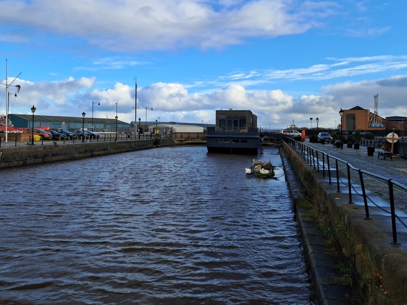
A M Rendel and G Robertson, engineers, 1858-63. Ashlar-built graving dock (now flooded and disused), 382?long, with curved E end partly bridged over in concrete. Setted and flagged quayside with remains of machinery.
The adjacent hydraulic station is listed separately.


Other nearby listed buildings