Approximate Location Map
Large Map »
Latitude: 56.1909 / 56°11'27"N
Longitude: -2.818 / 2°49'4"W
OS Eastings: 349333
OS Northings: 700112
OS Grid: NO493001
Mapcode National: GBR 2Q.FWC7
Mapcode Global: WH7SR.PN9B
Plus Code: 9C8V55RJ+9R
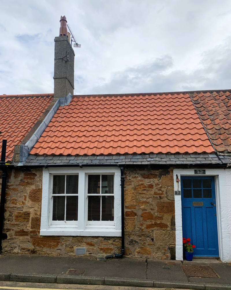
Entry Name: Singa, 7 Chapmans Place, Elie
Listing Name: Elie 3, 5, 7 (Singa) 9 Chapmans Place
Listing Date: 8 January 1980
Category: C
Source: Historic Scotland
Source ID: 372109
Historic Scotland Designation Reference: LB30936
Building Class: Cultural
ID on this website: 200372109
Location: Elie and Earlsferry
County: Fife
Town: Elie And Earlsferry
Electoral Ward: East Neuk and Landward
Traditional County: Fife
Tagged with: Architectural structure
Early 19th century. Single storey row, rubble with droved ashlar dressings and painted margins. 3 and 9 have central door and 2 window's, and 9 has one window range (part of former adjoining cottage) capped by flat metal roof. 5 and 7 have doors in centre and outer bipartites. Pantiled roofs, with stone slate casing to 5 and 7, straight skews with block ends and very tall (probably heightened) harled stacks.
External links are from the relevant listing authority and, where applicable, Wikidata. Wikidata IDs may be related buildings as well as this specific building. If you want to add or update a link, you will need to do so by editing the Wikidata entry.


Other nearby listed buildings
