Approximate Location Map
Large Map »
Latitude: 55.7951 / 55°47'42"N
Longitude: -4.8722 / 4°52'20"W
OS Eastings: 220038
OS Northings: 659487
OS Grid: NS200594
Mapcode National: GBR 30.7X0V
Mapcode Global: WH2N1.4L4S
Plus Code: 9C7QQ4WH+24
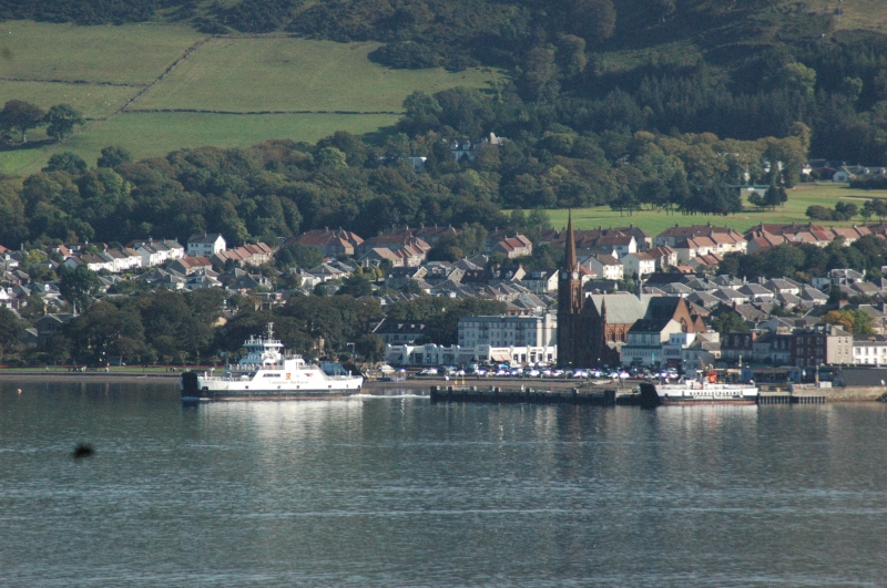
Entry Name: Pier, Largs
Listing Name: Harbour
Listing Date: 14 April 1971
Category: C
Source: Historic Scotland
Source ID: 382196
Historic Scotland Designation Reference: LB37174
Building Class: Cultural
ID on this website: 200382196
Location: Largs
County: North Ayrshire
Town: Largs
Electoral Ward: North Coast and Cumbraes
Traditional County: Ayrshire
Tagged with: Pier
Built 1832-4. L-plan pier. Coursed tooled rubble with some
concrete alterations and wooden buffers. Wooden steps at
south west corner. Later concrete slip entering harbour at
angle of no historic interest.
External links are from the relevant listing authority and, where applicable, Wikidata. Wikidata IDs may be related buildings as well as this specific building. If you want to add or update a link, you will need to do so by editing the Wikidata entry.


Other nearby listed buildings
