Approximate Location Map
Large Map »
Latitude: 55.7512 / 55°45'4"N
Longitude: -4.9323 / 4°55'56"W
OS Eastings: 216066
OS Northings: 654762
OS Grid: NS160547
Mapcode National: GBR GF6H.TR5
Mapcode Global: WH2N6.6PJY
Plus Code: 9C7QQ329+F3
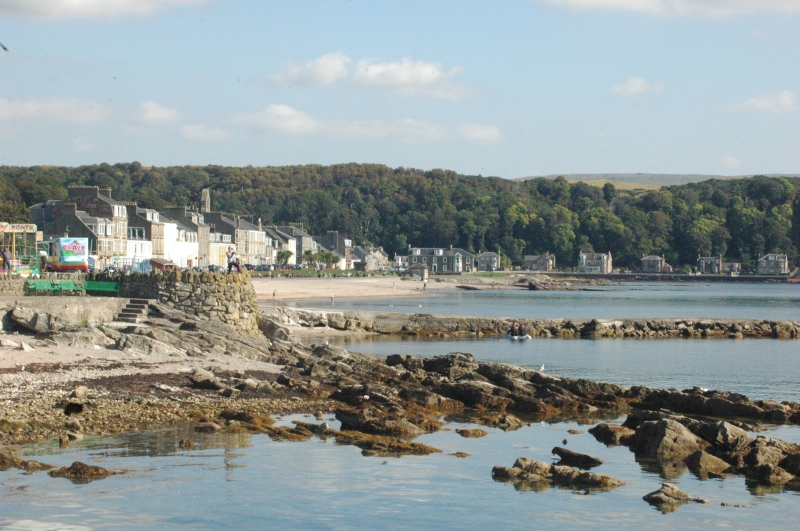
Entry Name: General, Millport Harbour, Great Cumbrae Island
Listing Name: Old Harbour
Listing Date: 14 April 1971
Category: B
Source: Historic Scotland
Source ID: 382985
Historic Scotland Designation Reference: LB37826
Building Class: Cultural
ID on this website: 200382985
Location: Millport
County: North Ayrshire
Town: Millport
Electoral Ward: North Coast and Cumbraes
Tagged with: Harbour
Old harbourworks and basin formed circa 1750 under direction
of Captain Andrew Crawford and reconstructed in 1797. The
original basin extended as far as the lower end of present
Cardiff Street but was filled in when the front was
constructed.
External links are from the relevant listing authority and, where applicable, Wikidata. Wikidata IDs may be related buildings as well as this specific building. If you want to add or update a link, you will need to do so by editing the Wikidata entry.


Other nearby listed buildings
