Approximate Location Map
Large Map »
Latitude: 56.2126 / 56°12'45"N
Longitude: -2.7316 / 2°43'53"W
OS Eastings: 354718
OS Northings: 702469
OS Grid: NO547024
Mapcode National: GBR 2T.DJ8P
Mapcode Global: WH7ST.03HN
Plus Code: 9C8V6779+39
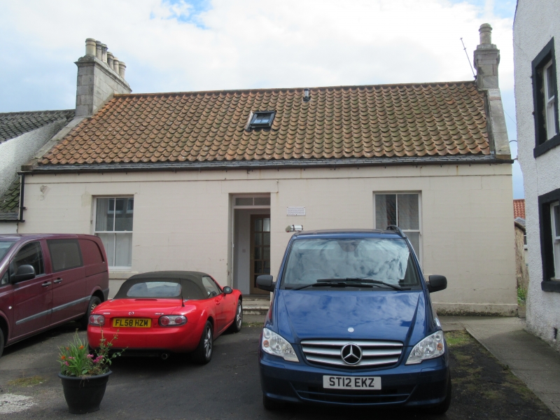
Entry Name: 56 High Street, Pittenweem
Listing Name: 56 High Street
Listing Date: 18 August 1972
Category: C
Source: Historic Scotland
Source ID: 385814
Historic Scotland Designation Reference: LB39934
Building Class: Cultural
ID on this website: 200385814
Location: Pittenweem
County: Fife
Town: Pittenweem
Electoral Ward: East Neuk and Landward
Traditional County: Fife
Tagged with: Architectural structure
Early 19th century, single-storey, 2-window and centre door, painted ashlar, pantiled with slate skirting.
Re-categorised as C(S) from B for Group (2006). The listing relates specifically to the group interest of the subject. It applies, as always, to interior as well as exterior, as appropriate to building type.
External links are from the relevant listing authority and, where applicable, Wikidata. Wikidata IDs may be related buildings as well as this specific building. If you want to add or update a link, you will need to do so by editing the Wikidata entry.


Other nearby listed buildings
