Latitude: 55.3671 / 55°22'1"N
Longitude: -3.9217 / 3°55'18"W
OS Eastings: 278298
OS Northings: 609803
OS Grid: NS782098
Mapcode National: GBR 161C.RV
Mapcode Global: WH4SW.QCQC
Plus Code: 9C7R938H+R8
Entry Name: 73 High Street, Sanquhar
Listing Name: 71, 73 High Street.
Listing Date: 3 August 1971
Category: B
Source: Historic Scotland
Source ID: 386488
Historic Scotland Designation Reference: LB40549
Building Class: Cultural
ID on this website: 200386488
Location: Sanquhar
County: Dumfries and Galloway
Town: Sanquhar
Electoral Ward: Mid and Upper Nithsdale
Traditional County: Dumfriesshire
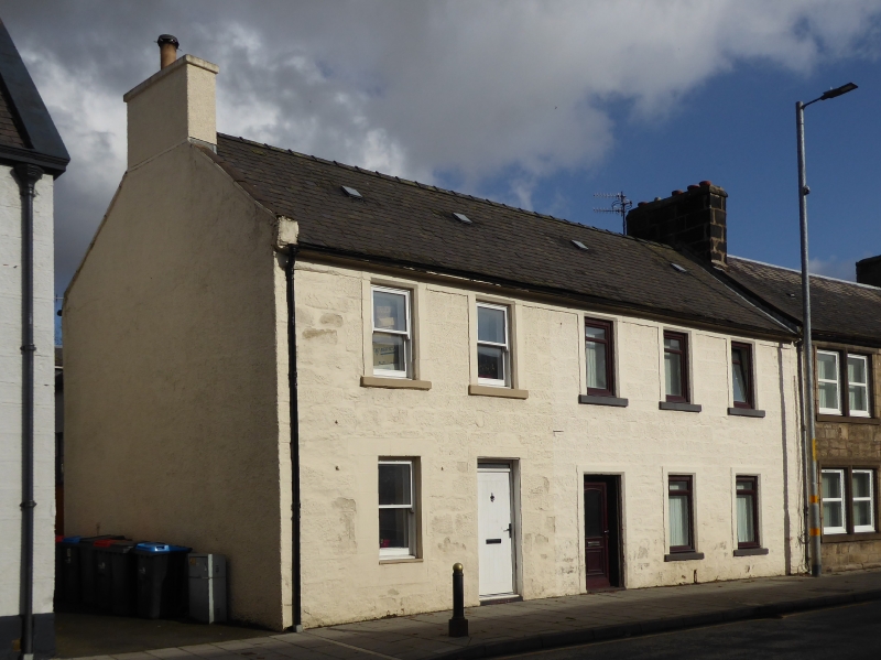
Mid/later 18th century. 2 storeys, 5 bays. Coursed squared
rubble, chamfered ashlar margins, all painted. Recessed
central panelled door, altered shop door and window to left;
otherwise plate glass sashes. Eaves/lintel band; cornice;
straight skews; end stacks; slate roof. E gable pebble-
dashed; moulded cornice to rear elevation; lean-to and low
wing; cobbled pathway runs northwards.


Other nearby listed buildings