Approximate Location Map
Large Map »
Latitude: 56.3391 / 56°20'20"N
Longitude: -2.7908 / 2°47'26"W
OS Eastings: 351208
OS Northings: 716587
OS Grid: NO512165
Mapcode National: GBR 2R.4GYL
Mapcode Global: WH7S0.3X9Q
Plus Code: 9C8V86Q5+JM
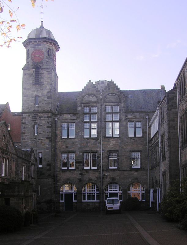
Entry Name: Classroom Block, St Leonard's School, St Andrews
Listing Name: St Leonard's School, St. Leonard's Lane Including Garden Walls.
Listing Date: 8 June 1978
Category: C
Source: Historic Scotland
Source ID: 386629
Historic Scotland Designation Reference: LB40669
Building Class: Cultural
ID on this website: 200386629
Location: St Andrews
County: Fife
Town: St Andrews
Electoral Ward: St Andrews
Traditional County: Fife
Tagged with: School building
N part late 18th cent. with good Roman doric column doorpiece; main buildings 3-storey snecked rubble with clock tower having ogee lead cap; harled rear elevation to Abbey Street. Gillespie & Scott 1882-1902, 1926.
External links are from the relevant listing authority and, where applicable, Wikidata. Wikidata IDs may be related buildings as well as this specific building. If you want to add or update a link, you will need to do so by editing the Wikidata entry.


Other nearby listed buildings
