Approximate Location Map
Large Map »
Latitude: 56.2049 / 56°12'17"N
Longitude: -2.7669 / 2°46'0"W
OS Eastings: 352522
OS Northings: 701626
OS Grid: NO525016
Mapcode National: GBR 2S.F2B5
Mapcode Global: WH7SS.G9NM
Plus Code: 9C8V663M+W7
Entry Name: 18 West Shore, St Monance
Listing Name: 18 West Shore
Listing Date: 18 August 1972
Category: C
Source: Historic Scotland
Source ID: 387066
Historic Scotland Designation Reference: LB40977
Building Class: Cultural
ID on this website: 200387066
Location: St Monance
County: Fife
Town: St Monance
Electoral Ward: East Neuk and Landward
Traditional County: Fife
Tagged with: Architectural structure
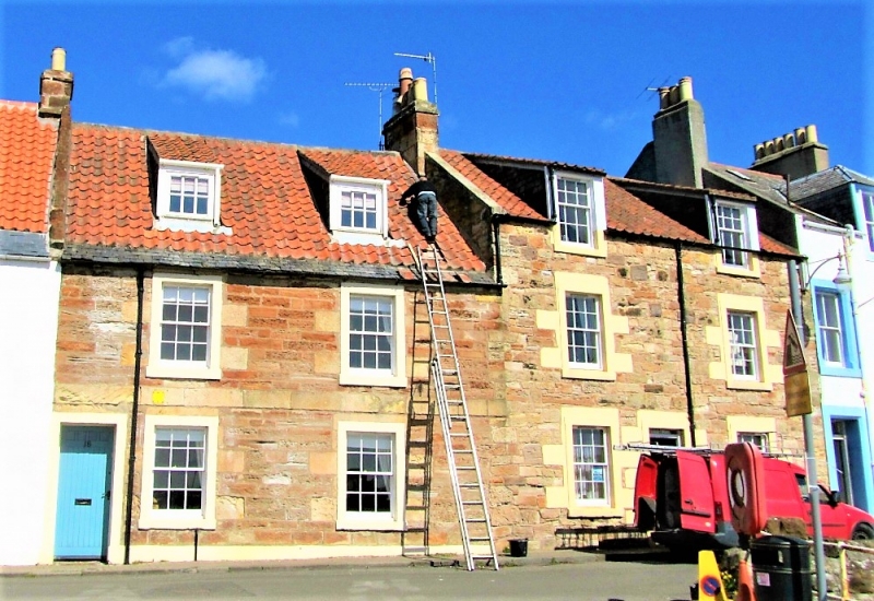
Rebuilt early 19th century. 2-storey 2-window coursed rubble with painted margins and droved dressings; pantiled.
Re-categorised as C(S) from B for Group (2006). The listing relates specifically to the group interest of the subject. It applies, as always, to interior as well as exterior, as appropriate to building type.
External links are from the relevant listing authority and, where applicable, Wikidata. Wikidata IDs may be related buildings as well as this specific building. If you want to add or update a link, you will need to do so by editing the Wikidata entry.


Other nearby listed buildings
