Latitude: 55.8521 / 55°51'7"N
Longitude: -2.106 / 2°6'21"W
OS Eastings: 393463
OS Northings: 662106
OS Grid: NT934621
Mapcode National: GBR F0QS.V0
Mapcode Global: WH9Y3.M5CJ
Plus Code: 9C7VVV2V+RJ
Entry Name: Ayton Mains
Listing Name: Ayton Mains Farmhouse Including Garden Walls, Quadrant Walls and Gatepiers
Listing Date: 28 September 1999
Category: B
Source: Historic Scotland
Source ID: 393757
Historic Scotland Designation Reference: LB46449
Building Class: Cultural
ID on this website: 200393757
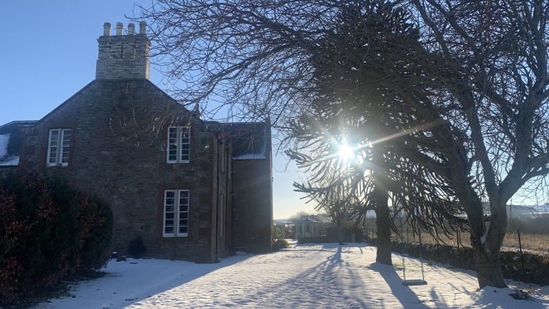
In style of William J Gray, architect, Coldingham, circa 1870 with later additions and alterations. Asymmetrical 2-storey, 3-bay Tudor-gabled farmhouse with gabled projection to front; lower wing at rear forming near Z-plan; single storey addition to side. Harl-pointed rubble; red sandstone dressings. Base course; moulded eaves in part. Stugged sandstone quoins; raised, tabbed and chamfered margins; chamfered cills; painted sandstone mullions. Gabled dormerheads to 1st floor windows breaking eaves.
SW (ENTRANCE) ELEVATION: timber panelled door centred at ground; plate glass fanlight; bipartite window breaking eaves above. Bipartite window at ground in bay to outer left; bipartite window breaking eaves above. Full-height gabled wing projecting to right with tripartite window centred at ground; bipartite window aligned at 1st floor; small attic light above. Boarded timber door in single storey addition recessed to outer right.
NW (SIDE) ELEVATION: 2-bay gabled range with bipartite windows at both floors in both bays flanking centre. Lower, 2-bay wing to left with bipartite windows at both floors in both bays (breaking eaves at upper floor with single gablehead). Blind elevation to full-height projection recessed to outer right.
NE (REAR) ELEVATION: main block with bipartite window centred at ground; bipartite window breaking eaves above. Bipartite window at ground in bay to left; bipartite window breaking eaves above. Lower, 2-storey projection to outer right with boarded timber door at ground off-set to left of centre. Single storey addition to outer left.
Predominantly lying-pane glazing in timber sash and case windows. Grey slate roof; stone-coped skews; moulded skewputts. Cast-iron rainwater goods. Corniced, brick-built apex stacks to SE and NW (linked flues); circular cans.
INTERIOR: not seen 1999.
GARDEN WALLS, QUADRANT WALLS AND GATEPIERS: rubble-coped rubble walls enclosing site. Rubble quadrant walls flanking entrance with tooled red sandstone quoins; square-plan, stop-chamfered, red sandstone gatepiers; 2-leaf timber gate.
Replaced an earlier 'Ayton Mains' - shown on the 1860 OS map. Rutherfurd notes a David Darling as farmer here in 1866. Virtually identical to the design of Bunkle Manse, as shown in William J Gray's TREATISE - see separate list entry for 'Kirkside House, Bunkle & Preston Parish, Berwickshire'. Although not apparent in his list of works and thereby, not obviously by Gray himself, it is possible that the architect here used Gray's TREATISE (published in 1852) as a pattern book. The nearby Littledean Farmhouse also bears strong similarity - see separate list entry, Ayton Parish. Although much of the steading at Ayton Mains has been demolished (a former cartshed and granary being all that remains of the original), the nearby farm cottages are intact and are listed separately.
External links are from the relevant listing authority and, where applicable, Wikidata. Wikidata IDs may be related buildings as well as this specific building. If you want to add or update a link, you will need to do so by editing the Wikidata entry.


Other nearby listed buildings