Approximate Location Map
Large Map »
Latitude: 53.0647 / 53°3'52"N
Longitude: -3.7765 / 3°46'35"W
OS Eastings: 281057
OS Northings: 353416
OS Grid: SH810534
Mapcode National: GBR 65.BTB0
Mapcode Global: WH669.Y7VC
Plus Code: 9C5R367F+VC
Entry Name: Bont Newydd
Listing Date: 23 June 1967
Last Amended: 11 August 1997
Grade: II
Source: Cadw
Source ID: 118
Building Class: Transport
Also known as: Pont Conwy (Bont Newydd (Partly In The Bro Garmon Community)
ID on this website: 300000118
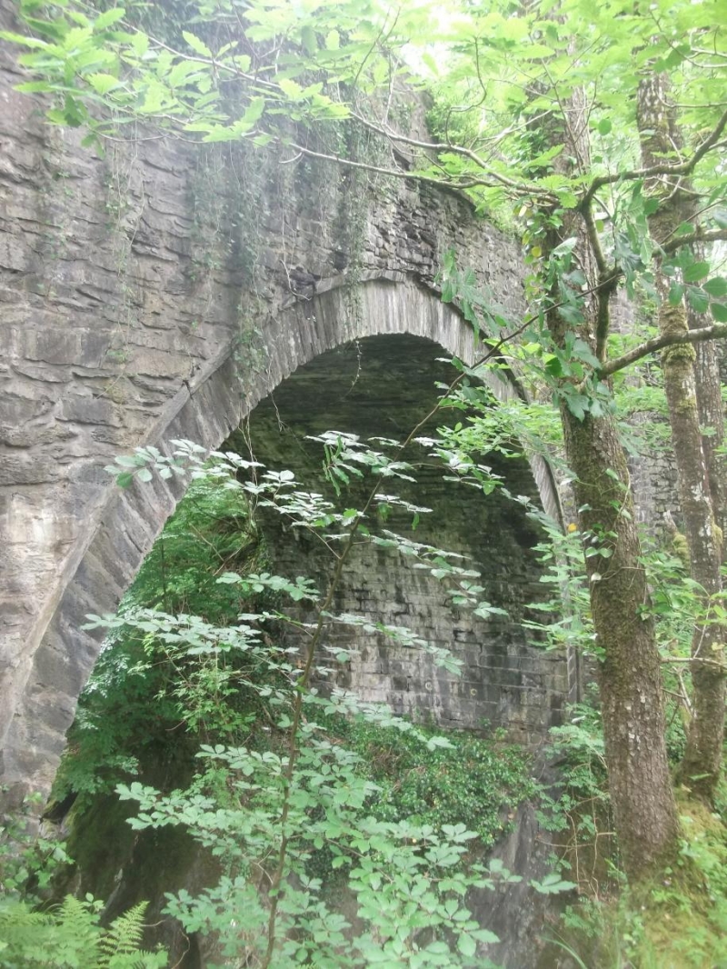
Location: Carries B4406 over gorge of Afon Conwy on single high arch. Spans the border between Bro Machno and Bro Garmon communities.
County: Conwy
Community: Bro Garmon
Community: Bro Garmon
Locality: Bont Newydd / Conwy Valley
Traditional County: Denbighshire
Tagged with: Bridge Road bridge
See Record 5857 (resurvey of Bro Machno Community) for full description.
External links are from the relevant listing authority and, where applicable, Wikidata. Wikidata IDs may be related buildings as well as this specific building. If you want to add or update a link, you will need to do so by editing the Wikidata entry.


Other nearby listed buildings
