History in Structure

Churchyard Walls, Railings, Gatepiers and Gates to north of Church of St. Mary

A Grade II Listed Building in Monmouth, Monmouthshire

More Photos »
Approximate Location Map
Large Map »

Coordinates

Latitude: 51.8135 / 51°48'48"N

Longitude: -2.7146 / 2°42'52"W

OS Eastings: 350833

OS Northings: 212999

OS Grid: SO508129

Mapcode National: GBR FL.WTH4

Mapcode Global: VH86T.WPR5

Plus Code: 9C3VR77P+95

Entry Name: Churchyard Walls, Railings, Gatepiers and Gates to north of Church of St. Mary

Listing Date: 23 January 1987

Last Amended: 10 August 2005

Grade: II

Source: Cadw

Source ID: 2781

Building Class: Religious, Ritual and Funerary

ID on this website: 300002781

Location: Attached to east end of No.11 Priory Street and extending to end against return wing of St. Mary's Community Centre.

County: Monmouthshire

Town: Monmouth

Community: Monmouth (Trefynwy)

Community: Monmouth

Built-Up Area: Monmouth

Traditional County: Monmouthshire

Tagged with: Churchyard wall Church gate

Find accommodation in
Monmouth

History

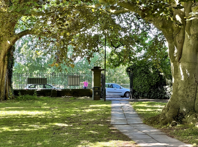
Early to mid C19 and matching longer section to south of Parish Church (qv Whitecross Street).

Exterior

Squared red sandstone wall with Forest of Dean ashlar piers and wrought iron gates and railings. Low stone walls with coping topped by arrow-head railings. One set of panelled gatepiers with wide cornices and plain double ironwork gates with bowed brace struts.

Reasons for Listing

Included for its special interest as part of an important piece of early C19 town planning in the Monmouth centre and for its group value with the Church of St. Mary.

External Links

External links are from the relevant listing authority and, where applicable, Wikidata. Wikidata IDs may be related buildings as well as this specific building. If you want to add or update a link, you will need to do so by editing the Wikidata entry.

Recommended Books

Other nearby listed buildings

  • II* Shambles
    Part of the group on the principal street leading north and east from the town square.
  • II 11, Priory Street
    Part of the group on the principal street leading north and east from the town square.
  • II 10, Priory Street
    Part of the group on the principal street leading north and east from the town square.
  • II* Monmouth Priory
    Part of the group on the principal street leading north and east from the town square.
  • II 9, Priory Street
    Part of the group on the principal street leading north and east from the town square.
  • II Wall and Gateway of Monmouth Priory Centre
    Part of the group on the principal street leading north and east from the town square.
  • II 8, Priory Street
    Part of the group on the principal street leading north and east from the town square.
  • II NOS.7, 8, 9, 10 & 11 Priory Street, Gwent
    Part of the group on the principal street leading north and east from the town square.

BritishListedBuildings.co.uk is an independent online resource and is not associated with any government department. All government data published here is used under licence. Please do not contact BritishListedBuildings.co.uk for any queries related to any individual listed building, planning permission related to listed buildings or the listing process itself.

British Listed Buildings is a Good Stuff website.