Latitude: 51.5333 / 51°31'59"N
Longitude: -3.5887 / 3°35'19"W
OS Eastings: 289897
OS Northings: 182793
OS Grid: SS898827
Mapcode National: GBR HD.GL08
Mapcode Global: VH5HB.RQ4G
Plus Code: 9C3RGCM6+8G
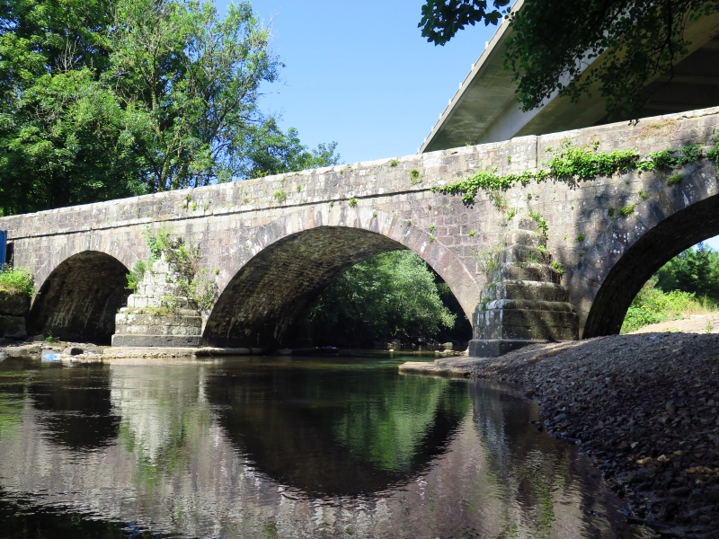
Entry Name: Glan Rhyd Railway Viaduct (partly in Newcastle Higher community)
Listing Date: 26 July 1963
Grade: II*
Source: Cadw
Source ID: 20179
Building Class: Transport
ID on this website: 300020179
Location: Spanning River Ogmore on a minor road E of A4063 and almost directly beneath viaduct of M4.
County: Bridgend
Community: St. Bride's Minor (Llansanffraid-ar-Ogwr)
Community: St. Bride's Minor
Locality: Sarn
Traditional County: Glamorgan
See Record Number 11228 in Newcastle Higher community for full description of this viaduct.


Other nearby listed buildings