Approximate Location Map
Large Map »
Latitude: 51.6517 / 51°39'5"N
Longitude: -3.6429 / 3°38'34"W
OS Eastings: 286439
OS Northings: 196040
OS Grid: SS864960
Mapcode National: GBR H9.74DY
Mapcode Global: VH5GQ.TR06
Plus Code: 9C3RM924+MV
Entry Name: Croeserw Viaduct
Listing Date: 31 July 2000
Last Amended: 31 July 2000
Grade: II
Source: Cadw
Source ID: 23844
Building Class: Communications
ID on this website: 300023844
Location: Spanning the Afan river approximately 200m E of the centre of Cymmer.
County: Neath Port Talbot
Community: Glyncorrwg
Community: Glyncorrwg
Locality: Cymmer
Built-Up Area: Cymmer
Traditional County: Glamorgan
Tagged with: Viaduct Railway viaduct
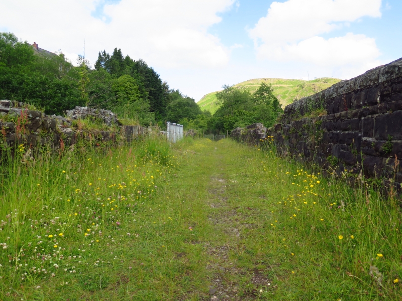
Built by the Rhondda & Swansea Bay Railway, which was incorporated in 1882 and was established to attract coal from the Rhondda Fawr collieries to the newly opened Prince of Wales Dock in Swansea. Croeserw Viaduct opened in 1890, although the line was not fully opened until 1900. The viaduct and the nearby Gelli Tunnel both suffered from mining subsidence and was the first section of the line to close. The viaduct was closed in 1959. It is now a footpath.
A 7-bay viaduct of snecked, rock-faced stone and with round-headed brick arches on tapering piers. Two unequally placed shallow buttresses rise to the full height of the parapet where they define refuges. The parapet rises above a string course and has rock-faced copings (the copings and other parapet stonework are now partly missing). The parapets terminate in square piers.
Listed as a good example of large-scale C19 railway engineering, representing a period when port and railway companies competed for lucrative business with South Wales colliery companies, resulting in cross-valley lines requiring extensive civil engineering.
External links are from the relevant listing authority and, where applicable, Wikidata. Wikidata IDs may be related buildings as well as this specific building. If you want to add or update a link, you will need to do so by editing the Wikidata entry.


Other nearby listed buildings
