Latitude: 51.2057 / 51°12'20"N
Longitude: 0.4752 / 0°28'30"E
OS Eastings: 573007
OS Northings: 148078
OS Grid: TQ730480
Mapcode National: GBR PRY.6ZG
Mapcode Global: VHJML.6Y3L
Plus Code: 9F326F4G+73
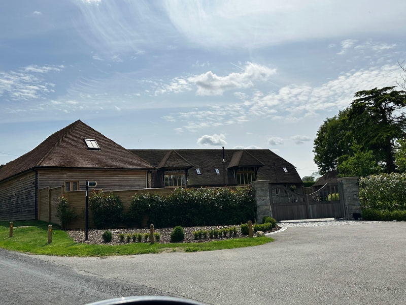
Entry Name: Barn About 25 Metres South East of Reed Court
Listing Date: 23 March 1987
Grade: II
Source: Historic England
Source ID: 1031361
English Heritage Legacy ID: 174754
ID on this website: 101031361
Location: Chainhurst, Maidstone, Kent, TN12
County: Kent
District: Maidstone
Civil Parish: Marden
Traditional County: Kent
Lieutenancy Area (Ceremonial County): Kent
Tagged with: Barn
TQ 74 NW MARDEN HUNTON ROAD (west side)
1/95 Barn about 25 metres south- east of Reed Court
II
Earn. C17. Timber framed, clad partly with weatherboarding, partly with corrugated iron. Stone plinth to three left bays, red brick plinth to rest. Plain tile roof. 8 timber-framed bays with front and rear aisles, built at right-angles to road. Midstreys to third and sixth bays from left (road). Half-hipped roof. Porch to each midstrey to front with double doors below midrail, weatherboarding above, and with hipped roof jettied to front on brackets. Interior: shaped jowls to principal posts. Arch-braced tie-beams. Staggered butt purlins, with vertical queen struts to rafters. Re-used rafters from a medieval roof. Almost straight braces to arcade plates. Raked queen struts to aisle rafters from aisle tie-beams. Curved passing shores trenched past queen struts and aisle ties. Face-halved arcade-plate scarf-joints.
Listing NGR: TQ7345745691
External links are from the relevant listing authority and, where applicable, Wikidata. Wikidata IDs may be related buildings as well as this specific building. If you want to add or update a link, you will need to do so by editing the Wikidata entry.


Other nearby listed buildings