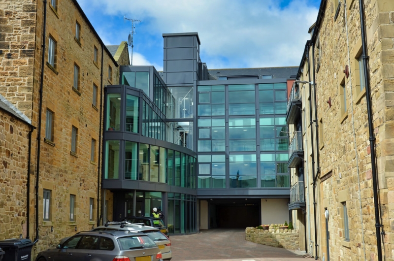
Latitude: 55.4137 / 55°24'49"N
Longitude: -1.711 / 1°42'39"W
OS Eastings: 418392
OS Northings: 613341
OS Grid: NU183133
Mapcode National: GBR J5HV.C5
Mapcode Global: WHC1K.P6F5
Plus Code: 9C7WC77Q+FH
Entry Name: Former Malthouse to North of No 20
Listing Date: 25 August 1977
Grade: II
Source: Historic England
Source ID: 1041505
English Heritage Legacy ID: 235699
ID on this website: 101041505
Location: Alnwick, Northumberland, NE66
County: Northumberland
Civil Parish: Alnwick
Built-Up Area: Alnwick
Traditional County: Northumberland
Lieutenancy Area (Ceremonial County): Northumberland
Church of England Parish: Alnwick
Church of England Diocese: Newcastle
Tagged with: Building
DISPENSARY STREET 5330 (West Side) Former outhouse to north of No 20 NU 1813 SW 4/236 II 2. Early-mid C19 block gable end to street. Three storeys with 8 irregularly spaced windows; 6 bays ashlar, 2 of rubble with a much steeper roof. Slate roofs. Cobbled back to south.
Listing NGR: NU1839213341
External links are from the relevant listing authority and, where applicable, Wikidata. Wikidata IDs may be related buildings as well as this specific building. If you want to add or update a link, you will need to do so by editing the Wikidata entry.


Other nearby listed buildings