Approximate Location Map
Large Map »
Latitude: 53.3069 / 53°18'24"N
Longitude: -1.1215 / 1°7'17"W
OS Eastings: 458635
OS Northings: 379238
OS Grid: SK586792
Mapcode National: GBR NZL6.Z9
Mapcode Global: WHDF7.R44Q
Plus Code: 9C5W8V4H+P9
Entry Name: Boundary Wall and Gate Piers at Canal Wharf
Listing Date: 1 April 1985
Grade: II
Source: Historic England
Source ID: 1045030
English Heritage Legacy ID: 241256
ID on this website: 101045030
Location: Worksop, Bassetlaw, Nottinghamshire, S80
County: Nottinghamshire
District: Bassetlaw
Electoral Ward/Division: Worksop South East
Parish: Non Civil Parish
Built-Up Area: Worksop
Traditional County: Nottinghamshire
Lieutenancy Area (Ceremonial County): Nottinghamshire
Church of England Parish: Worksop Priory with Carburton
Church of England Diocese: Southwell and Nottingham
Tagged with: Wall
SK 59 SE WORKSOP CHURCH WALK
(North side)
6/17 Boundary wall and
gate piers at
Canal Wharf
G.V. II
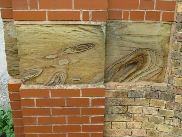
Boundary wall. Early C19. Coursed squared rubble and brick with
ashlar coping. Curved wall with brick inner face and higher,
ramped central section. At each end, a pair of later C19 piers
with pyramidal ashlar caps. Approx. 150 M long.
Listing NGR: SK5863579238
External links are from the relevant listing authority and, where applicable, Wikidata. Wikidata IDs may be related buildings as well as this specific building. If you want to add or update a link, you will need to do so by editing the Wikidata entry.


Other nearby listed buildings
