Latitude: 52.5322 / 52°31'55"N
Longitude: -2.4194 / 2°25'9"W
OS Eastings: 371647
OS Northings: 292781
OS Grid: SO716927
Mapcode National: GBR BZ.FF36
Mapcode Global: VH90Z.0MT6
Plus Code: 9C4VGHJJ+V6
Entry Name: The Castle
Listing Date: 18 July 1949
Grade: II
Source: Historic England
Source ID: 1053985
English Heritage Legacy ID: 254386
ID on this website: 101053985
Location: The Castle Grounds, Castle Hill, Shropshire, WV16
County: Shropshire
Civil Parish: Bridgnorth
Built-Up Area: Bridgnorth
Traditional County: Shropshire
Lieutenancy Area (Ceremonial County): Shropshire
Church of England Parish: Bridgnorth
Church of England Diocese: Hereford
SO 79 SW
1/48
BRIDGNORTH
CASTLE GREEN
The Castle
18.07.49
II
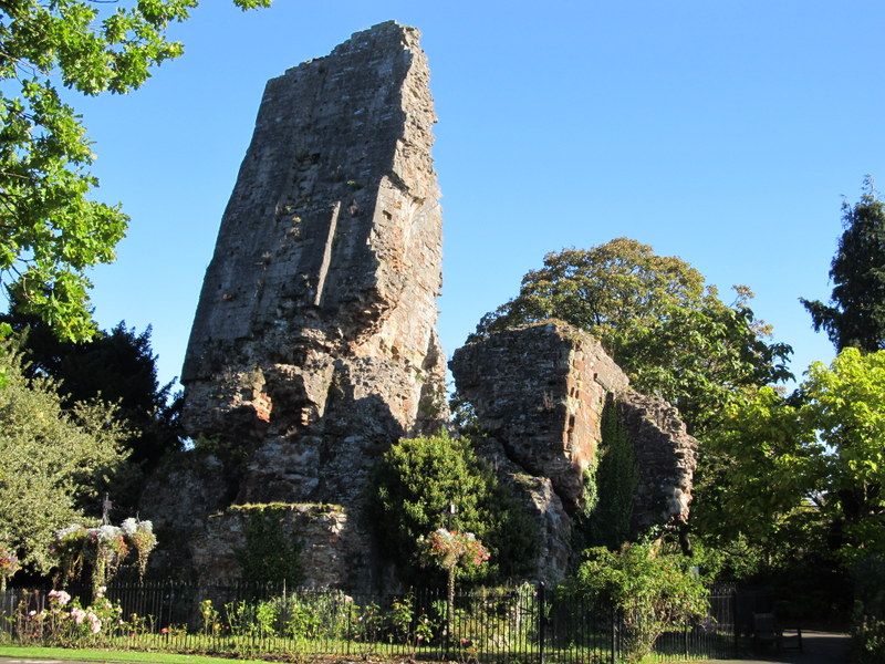
Only the Keep, a massive ruinous tower of circa 1200 remains with a fragment of the curtain wall extending from the south wall. The Keep leans at an angle of 75 degrees from vertical. AM.
Listing NGR: SO7164792781


Other nearby listed buildings