Approximate Location Map
Large Map »
Latitude: 52.6299 / 52°37'47"N
Longitude: -2.4534 / 2°27'12"W
OS Eastings: 369411
OS Northings: 303666
OS Grid: SJ694036
Mapcode National: GBR BX.7JQ0
Mapcode Global: WH9DH.85Z6
Plus Code: 9C4VJGHW+XM
Entry Name: Baggaleys Wind
Listing Date: 8 April 1983
Grade: II
Source: Historic England
Source ID: 1054100
English Heritage Legacy ID: 361863
ID on this website: 101054100
Location: Blists Hill, Telford and Wrekin, Shropshire, TF7
County: Telford and Wrekin
Civil Parish: Madeley
Traditional County: Shropshire
Lieutenancy Area (Ceremonial County): Shropshire
Church of England Parish: Madeley
Church of England Diocese: Hereford
Tagged with: Building
BLISTS HILL Baggaleys Wind
1.
5362
SJ 60 SE 33/5
II
2.
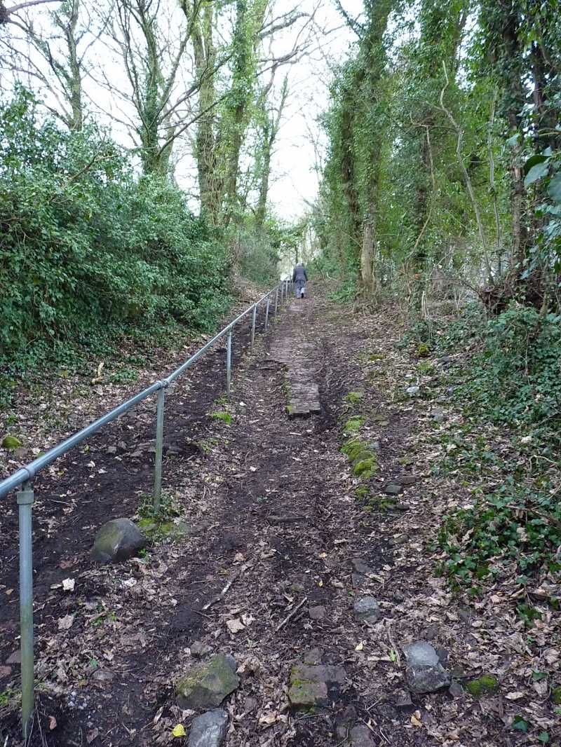
C19 incline formerly provided with winding gear which connected the now disused
Meadows Pit Colliery with Blists Hill Ironworks site via the Lee Dingle Bridge
built in 1872 q.v.
The incline is brick paved and overgrown with grass.
Listing NGR: SJ6941103666
External links are from the relevant listing authority and, where applicable, Wikidata. Wikidata IDs may be related buildings as well as this specific building. If you want to add or update a link, you will need to do so by editing the Wikidata entry.


Other nearby listed buildings
