Approximate Location Map
Large Map »
Latitude: 51.4583 / 51°27'29"N
Longitude: -0.1835 / 0°11'0"W
OS Eastings: 526296
OS Northings: 174822
OS Grid: TQ262748
Mapcode National: GBR D6.SGN
Mapcode Global: VHGR4.RLVY
Plus Code: 9C3XFR58+8H
Entry Name: Table Tomb to John Gilham
Listing Date: 7 April 1983
Grade: II
Source: Historic England
Source ID: 1065537
English Heritage Legacy ID: 207052
ID on this website: 101065537
Location: The Mews, Wandsworth, London, SW18
County: London
District: Wandsworth
Electoral Ward/Division: Fairfield
Parish: Non Civil Parish
Built-Up Area: Wandsworth
Traditional County: Surrey
Lieutenancy Area (Ceremonial County): Greater London
Church of England Parish: Wandsworth St Anne with St Faith
Church of England Diocese: Southwark
Tagged with: Building
HUGUENOT PLACE SW18
1.
5033
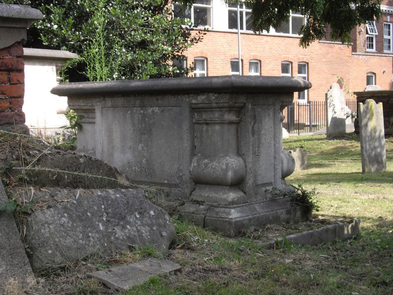
Table Tomb to John Gilham
TQ 27SE 4/2
II GV
2.
1728. Similar to Samuel John Tomb.
Listing NGR: TQ2629674822
External links are from the relevant listing authority and, where applicable, Wikidata. Wikidata IDs may be related buildings as well as this specific building. If you want to add or update a link, you will need to do so by editing the Wikidata entry.


Other nearby listed buildings
