Latitude: 51.201 / 51°12'3"N
Longitude: 1.2614 / 1°15'40"E
OS Eastings: 627934
OS Northings: 149693
OS Grid: TR279496
Mapcode National: GBR W0M.MQ8
Mapcode Global: VHLH3.T26P
Plus Code: 9F336726+9G
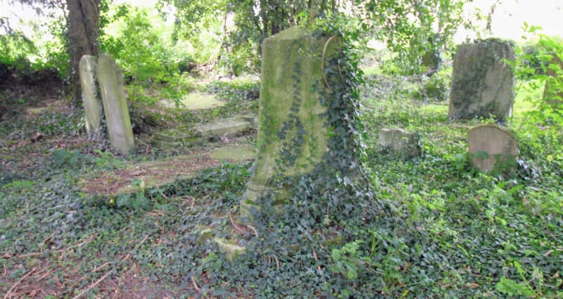
Entry Name: Monument to Sayer Family About 25 Metres South West of Church of St Peter and St Paul
Listing Date: 3 December 1986
Grade: II
Source: Historic England
Source ID: 1070311
English Heritage Legacy ID: 177883
ID on this website: 101070311
Location: St Peter and St Paul's Church, Lower Eythorne, Dover, Kent, CT15
County: Kent
District: Dover
Civil Parish: Eythorne
Built-Up Area: Eythorne
Traditional County: Kent
Lieutenancy Area (Ceremonial County): Kent
Tagged with: Monument
EYTHORNE CHURCH HILL TR 24 NE (South Side) 4/22 Monument to Sayer family about 25 metres south- west of Church of St. Peter and St. Paul
GV II Monument to Thomas Sayer, d.1796, and Sayer family. Stone. Obelisk about 4 feet high on double plinth, on triangular base with chamfered corners, originally with iron rails.
Listing NGR: TR2799449647
External links are from the relevant listing authority and, where applicable, Wikidata. Wikidata IDs may be related buildings as well as this specific building. If you want to add or update a link, you will need to do so by editing the Wikidata entry.


Other nearby listed buildings