Approximate Location Map
Large Map »
Latitude: 52.2465 / 52°14'47"N
Longitude: 0.7129 / 0°42'46"E
OS Eastings: 585299
OS Northings: 264388
OS Grid: TL852643
Mapcode National: GBR QF0.11V
Mapcode Global: VHKD4.9SQQ
Plus Code: 9F426PW7+H4
Entry Name: Number 42 (West Half)
Listing Date: 18 December 1989
Grade: II
Source: Historic England
Source ID: 1076925
English Heritage Legacy ID: 466759
ID on this website: 101076925
Location: Bury St Edmunds, West Suffolk, IP33
County: Suffolk
District: West Suffolk
Civil Parish: Bury St Edmunds
Built-Up Area: Bury St Edmunds
Traditional County: Suffolk
Lieutenancy Area (Ceremonial County): Suffolk
Church of England Parish: Bury St Edmunds St John the Evangelist
Church of England Diocese: St.Edmundsbury and Ipswich
Tagged with: Building
BURY ST EDMUNDS
TL8564SW CORNHILL
639-1/7/289 (North side)
18/12/89 No.42
(West half)
GV II
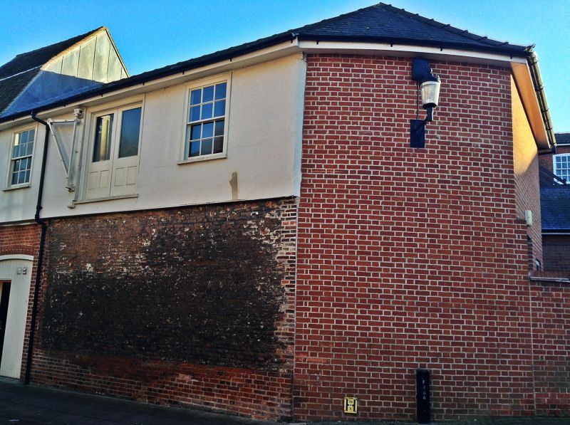
Former lodging range to inn, now largely disused. Early C16,
reroofed in the late C19. Timber-framed and rendered; a
slightly recessed wall of C16 brick fronting Brentgovel
Street; gabled slate roof.
EXTERIOR: 2 storeys. 2 window range to the formerly jettied
Brentgovel Street frontage. The ground storey has C20 plank
double doors to a wide entry on the left. The 1st storey has 2
C19 12-pane sash windows flanking a central late- C19 loading
doorway, with half-glazed double doors and cast-iron swinging
crane, mounted on a heavy timber wall-post.
INTERIOR: exposed timber frame in 3 bays with middle rails,
studding, jowled wall posts and chamfered wallplates; late C19
roof structure. 2 bays of the ground-storey ceiling are
visible; heavy chamfered cross-beams and substantial plain
joists with barefaced soffit tenons. The 1st storey has
evidence for a diamond-mullioned window with rebates for
shutters to the north (front) wall, and roll-moulded
tie-beams, one of which has arched braces; the roll-moulded
binding beams and joists have been remoulded.
An original passage along the south (rear) wall, with a braced
post defining the north side, was probably built as a gallery
overlooking the rear yard of Moyses Hall (qv). The easternmost
ground-storey bay is at present within No.42 (east half) (qv),
where none of the structure is visible.
This building is of considerable significance in the history
of Moyses Hall, as it implies that at least part of the
complex was in use as an inn c1500.
Listing NGR: TL8529964388
External links are from the relevant listing authority and, where applicable, Wikidata. Wikidata IDs may be related buildings as well as this specific building. If you want to add or update a link, you will need to do so by editing the Wikidata entry.


Other nearby listed buildings
