Approximate Location Map
Large Map »
Latitude: 52.2237 / 52°13'25"N
Longitude: -2.0821 / 2°4'55"W
OS Eastings: 394490
OS Northings: 258389
OS Grid: SO944583
Mapcode National: GBR 2H8.GG4
Mapcode Global: VH92P.VCNN
Plus Code: 9C4V6WF9+F5
Entry Name: The Brook House
Listing Date: 29 December 1952
Last Amended: 4 September 1986
Grade: II
Source: Historic England
Source ID: 1081206
English Heritage Legacy ID: 147831
ID on this website: 101081206
Location: Himbleton, Wychavon, Worcestershire, WR9
County: Worcestershire
District: Wychavon
Civil Parish: Himbleton
Traditional County: Worcestershire
Lieutenancy Area (Ceremonial County): Worcestershire
Church of England Parish: Himbleton
Church of England Diocese: Worcester
Tagged with: House
HIMBLETON CP HIMBLETON
SO 95 NW
6/155 (19/5) The Brook House
(formerly listed as
29.12.52 Himbleton House)
- II
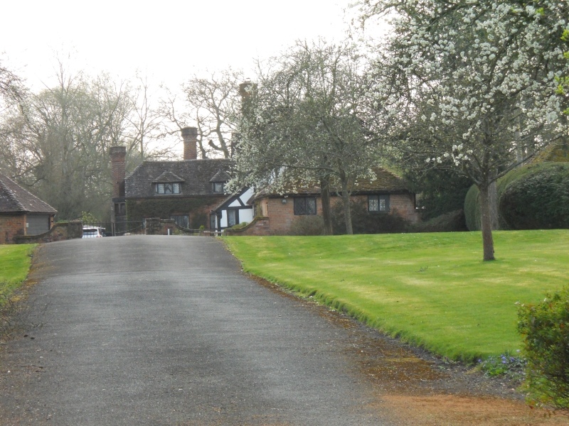
Farmhouse, now house. Late C16 with mid-C19 alterations; restored 1933.
Timber-framed with painted brick and rendered infill on lias limestone
rubble base; plain tiled roofs. Originally a hall and cross-wing plan;
hall of two framed bays aligned north/south with external sandstone ashlar
chimney at rear having a chamfered plinth and a pair of star-shaped stacks
to its south elevation; this was enclosed in 1933 by the addition of two
further framed bays continuing the main roof ridge with a gable-end external
chimney similar to the hall chimney; large gables were added to front and
rear of the original hall and the addition to flank the now centrally-
positioned cross-wing. Two storeys and attic with decorated bargeboards.
Framing: four panels from sill to wall-plate, short straight braces across
upper corners and collar and tie-beam trusses with two collars, close-set
studding to lower collar, two struts above and concave V-strut in apex;
cross-wing attic storey is jettied to west on richly carved consoles.
West elevation: wood-mullioned windows with leaded casements throughout;
original hall has two ground- and first-floor 4-light windows and a first-
floor 3-light window; cross-wing gable end has a 3-light and a 4-light
window on both floors and the addition to right has a 4-light and a 5-light
ground-floor window, three 2-light and one 3-light first-floor windows.
Main entrance in timber-framed gabled porch adjoining at outshut to the
rear of the north bay; entrance has moulded architrave, flanking carved Ionic
half-columns and a C17 door. Interior: original part noted as having stop-
chamfered main beams, panelled ground-floor rooms incorporating some C17
work and a staircase with turned balusters. C19 and C20 rear additions
include ogee-arched doorway, possibly late medieval in origin. Lead rain-
water goods have cable mouldings and are dated 1760. (VCH 3 (ii), p 391).
Listing NGR: SO9449058389
External links are from the relevant listing authority and, where applicable, Wikidata. Wikidata IDs may be related buildings as well as this specific building. If you want to add or update a link, you will need to do so by editing the Wikidata entry.


Other nearby listed buildings
