Latitude: 53.6077 / 53°36'27"N
Longitude: -2.1472 / 2°8'49"W
OS Eastings: 390356
OS Northings: 412360
OS Grid: SD903123
Mapcode National: GBR FVFQ.XG
Mapcode Global: WHB8X.ZLP3
Plus Code: 9C5VJV53+34
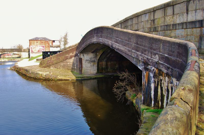
Entry Name: Rochdale Canal Lock Number 50 (Moss Lower Lock)
Listing Date: 12 February 1985
Grade: II
Source: Historic England
Source ID: 1084248
English Heritage Legacy ID: 358923
ID on this website: 101084248
Location: Lower Place, Rochdale, Greater Manchester, OL16
County: Rochdale
Electoral Ward/Division: Kingsway
Parish: Non Civil Parish
Built-Up Area: Rochdale
Traditional County: Lancashire
Lieutenancy Area (Ceremonial County): Greater Manchester
Church of England Parish: Balderstone St Mary
Church of England Diocese: Manchester
Tagged with: Lock
SD 91 SW ROCHDALE ROCHDALE CANAL
SD 90351235
7/93 Lock No. 50
(Moss Lower Lock)
II
G.V.
Lock between 1794 and 1804. William Jessop, engineer.
Dressed stone. Lock was designed to accommodate two sets of
lower gates (ie for two lengths of boat); the recesses
remain but only the lower gates were ever fitted. It was
heightened by two courses at some stage. The mouth has a
cast iron lipping. The lock gates have been completely
overhauled but the winding gear is not in place.
Listing NGR: SD9035612359
External links are from the relevant listing authority and, where applicable, Wikidata. Wikidata IDs may be related buildings as well as this specific building. If you want to add or update a link, you will need to do so by editing the Wikidata entry.


Other nearby listed buildings