Latitude: 51.1086 / 51°6'31"N
Longitude: -0.8374 / 0°50'14"W
OS Eastings: 481486
OS Northings: 135011
OS Grid: SU814350
Mapcode National: GBR CB2.K2D
Mapcode Global: VHDYM.FDNH
Plus Code: 9C3X4557+C2
Entry Name: The Old Farmhouse
Listing Date: 15 August 1985
Grade: II
Source: Historic England
Source ID: 1093995
English Heritage Legacy ID: 142243
ID on this website: 101093995
Location: Standford, East Hampshire, GU35
County: Hampshire
District: East Hampshire
Civil Parish: Headley
Traditional County: Hampshire
Lieutenancy Area (Ceremonial County): Hampshire
Church of England Parish: Headley All Saints
Church of England Diocese: Guildford
Tagged with: Farmhouse
SU 83 NW HEADLEY STANDFORD LANE
8/55 The Old Farmhouse
GV II
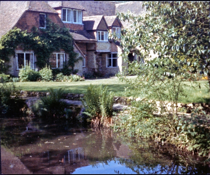
House. C17, with C20 restoration and alterations. Mixed walling materials, and a tiled roof. A timber-framed building, with rear wings in the form of coupled gables and a narrower lower wing at the east side, a projecting (front) wing at the east side, the whole now extended westwards to link with a barn. 2 storeys irregular fenestration. Steep ½-hipped roof, the front (south) with 3 dormers, all large and different. The framing is exposed, with brick infill and some stone: there is tile-hanging to gables front and rear, bone walk are roughcast and. some painted brickwork. Casements, in great variety. C20 stone porch. Along the roadside elevation (east) there is a massive tapered stack, attached to the frame, its lower part masked by an outshot. With C20 details, the old farmhouse has become attached to a C18 barn, being a 5 bay timber bronze with aisles, Queen post truss, ½-hipped tile roof, stone walls, and large openings.
Listing NGR: SU8127235549
External links are from the relevant listing authority and, where applicable, Wikidata. Wikidata IDs may be related buildings as well as this specific building. If you want to add or update a link, you will need to do so by editing the Wikidata entry.


Other nearby listed buildings