Latitude: 50.9015 / 50°54'5"N
Longitude: -1.5028 / 1°30'10"W
OS Eastings: 435056
OS Northings: 111453
OS Grid: SU350114
Mapcode National: GBR 76D.JVD
Mapcode Global: FRA 76RQ.DC7
Plus Code: 9C2WWF2W+HV
Entry Name: School and School House
Listing Date: 10 June 1987
Grade: II
Source: Historic England
Source ID: 1094351
English Heritage Legacy ID: 143491
ID on this website: 101094351
Location: Colbury, New Forest, Hampshire, SO40
County: Hampshire
District: New Forest
Civil Parish: Ashurst and Colbury
Traditional County: Hampshire
Lieutenancy Area (Ceremonial County): Hampshire
Church of England Parish: Colbury Christ Church
Church of England Diocese: Winchester
Tagged with: School building
In the entry for TOTTON AND ELING POUND LANE SU 31 SE (HOUNSDOVN) 5/25 School and School House II the parish shall be amended to read
ASHURST AND COLBURY
------------------------------------ TOTTON AND ELING POUND LANE (HOUNDSDOWN) SU 31 SE 5/25 School and School House II
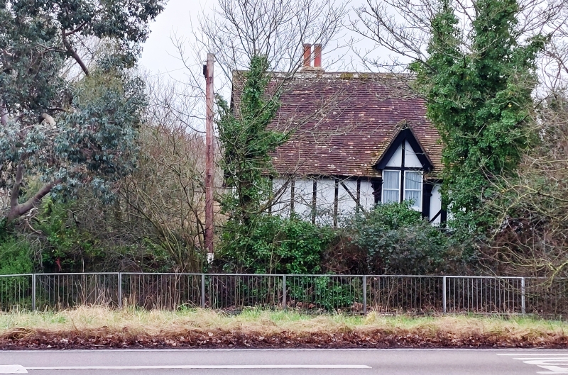
Former Church of England school and school house, now a primary school. c1870, probably by B Ferrey (see Deerleap Lane, Christchurch), with early C20 extensions. Walls of flint with stone dressings; bands, chamfered openings, stepped buttresses (to the south hall): the upper part of the house has exposed framing (plaster infilled) jettied on decorative brackets; later walls of red brickwork in English bond. Steep tile roof, with half-hip to the school. Hall school with house attached as a crosswing, with porch entrance at the junction between the two parts; the north-east elevation has two wide and one narrow window, separated by buttresses, with (at the north side) the gable ends of the house, of 2 storeys, 1 window. Casements; stone-framed bay (to the house) below the jetty. Open timbers framed porch on a stone base with a gable, having details (similar to the porch of Christchurch.) The north west elevation (of the house front) is near-symmetrical with a gabled central window above a doorway with a pointed arch, flanked by a window (the east side narrows) on each side.
Listing NGR: SU3505611453
External links are from the relevant listing authority and, where applicable, Wikidata. Wikidata IDs may be related buildings as well as this specific building. If you want to add or update a link, you will need to do so by editing the Wikidata entry.


Other nearby listed buildings